Life
Discover essential data under the theme of Life, representing the interconnectedness of all elements—water, fire, air, and earth. This section provides insights on relocation sites, energy access, renewable energy, and infrastructure, emphasizing the Indigenous understanding of human stewardship as part of an interdependent system. Rooted in Traditional Ecological Knowledge, the Life theme supports culturally relevant and balanced climate strategies for community resilience.
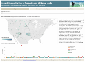
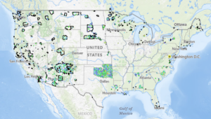
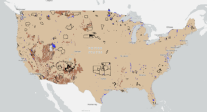
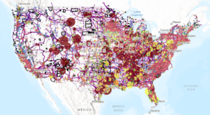
The ‘Life’ section provides comprehensive data, maps, and dashboards related to various infrastructure conditions and trends. This section supports tribal climate adaptation and mitigation planning by offering accessible and relevant information on relocation sites (primarily for Alaskan Native communities), energy access in response to extreme weather events, renewable energy production, and other critical infrastructure considerations.
The choice of the word ‘Life,’ which we have centered in our framework, reflects the deep interconnectedness of all living beings and elements—water, fire, air, and earth. This placement symbolizes the central role that life plays in Indigenous human stewardship, reinforcing the understanding that humans are not separate from the natural world but interwoven with it. This concept, rooted in Traditional Ecological Knowledge, recognizes that life is sustained through balance and reciprocity with the elements, and that human well-being is intrinsically linked to environmental health.
By providing this foundational infrastructure information, the ‘Life’ section aims to help develop informed, effective, and culturally relevant climate strategies for tribal communities. Explore the available resources to gain insights and drive meaningful infrastructure planning and community resilience actions that reflect the interconnectedness of all life, just as our logo visually represents
Related Dashboards
Related Maps
Related Blog Posts
Creating a Historic Loss Assessment, Part 1: Native history and land dispossession
By calculating land dispossession, this report seeks to not only identify what has been taken from Native peoples but also how this theft became the original source of capital that built Colorado and the West.
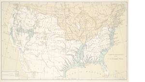
Introducing the Historic Loss Assessment: Articulating lost lives, land, and resources for the Native Nations in your state
While much of settler colonialism’s harm to Native Nations is unquantifiable, assessments like this provide data that helps tell those Nation’s stories.

Assessing Food Resilience on Native Reservations: the Good Food Access Indicator
NLAP’s Good Food Access Indicator (GFAI) helps Native communities challenge those who look at Native food systems through a deficit lens by creating a new way to measure food access on the reservation.
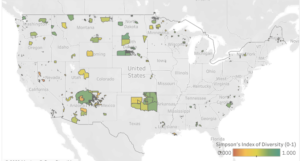
Crop Diversity on Native Lands
Our new Cropland Diversity data dashboard is the first index of Cropland Diversity ever calculated and published for US Native Lands. What findings does this dashboard reveal? And why does this data matter?

The Power of Asdzáán in Agriculture: Data Shows Native Female Majority Among Navajo Operators
Of the 73 reservations that participated in 2017 Census of Agriculture, only the Navajo Nation and the Umatilla Confederated Tribes reported a Native female majority among their agricultural operators.

Reservation Croplands: How Native Farmers and Ranchers Can Leverage the USDA’s Cropland Data Layer for Land Planning
In 2022, there were about 110 million acres of cropland (5.7%) on Native American reservations (including on-reservation and off-reservation trust lands). What are these croplands and land covers? How have they changed over time? Why does this data matter?

