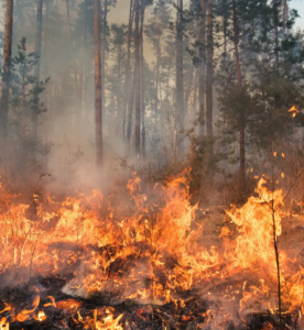
Good Fire: Mitigating Wildfire Risk & Healing Native Lands
After a long history of fire suppression in the United States, Native communities are reintroducing good fire to their lands.
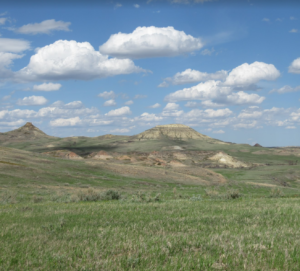
Grasslands: The Lands and the People That Call Them Home
Take a deep dive into the world of grasslands and learn more about: different characteristics of grasslands, Native care of grasslands historically and today, and how grasslands serve and support our world’s ecology, economies, and climate.
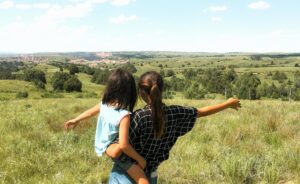
Building Up Native Youth in Agriculture
How well-represented are Native youth in the overall population of Native agriculture producers? What difficulties do Native youth face when entering agriculture, and what resources exist to support and empower them?
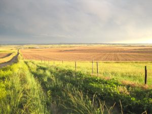
The Legacy of Allotment on Contemporary Native Agriculture
In this storymap, we explore recent data from the USDA Census of Agriculture for American Indian Reservations to illustrate the devastating and intergenerational impacts of the Dawes Act. Although we trace current disparities back to their roots in oppressive agricultural policies, Native communities across the country have been leading efforts to change the narrative.

Preserving Intact Habitat on US Native Lands
In this interactive storymap, we walk through the importance of habitat connectivity for Native lands in the United States, approaches to promoting habitat connectivity provided by Esri, and how different data tools — one of which being our very own intact habitat layer — may be used for further tribal protection of their homelands and non-human relatives.
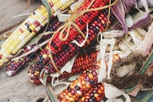
Sustainable Food Systems for US Native Lands: A Story Untold
The myth of an “empty land” where Natives lived idly without making good use of their natural resources is persistent and served as the primary base to justify taking lands away from tribes. Contrary to stereotypes, Native Agriculture was diverse and flourishing prior to settler colonialism.