
Celebrating NLAP’s Impact in 2024 + 2025
Since 2019, the Native Lands Advocacy Project (NLAP), a project of the 501(c)(3) nonprofit Village Earth, has been honored to provide critical data and technical
Introducing Our New Storymap: Energy Sovereignty in Indian Country
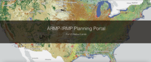
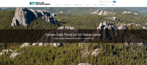
Learn about three new data tools that allow users to access relevant data about federal investments in Indian Country.
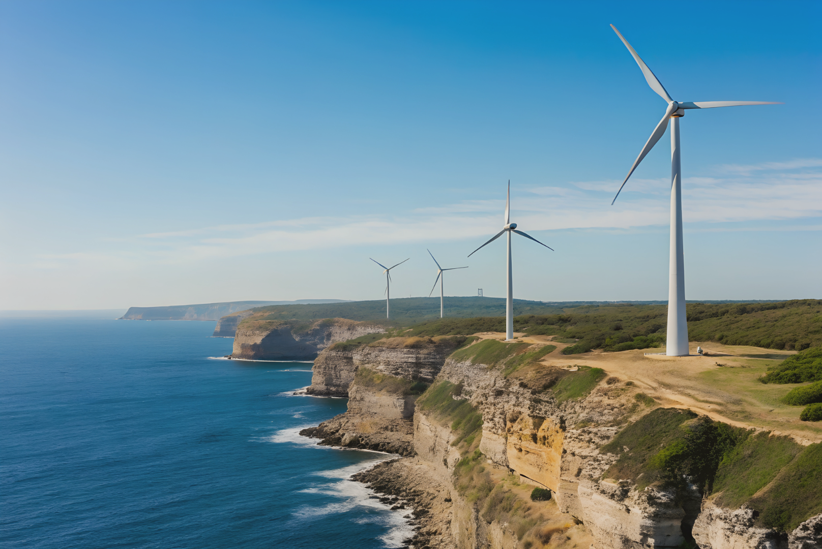
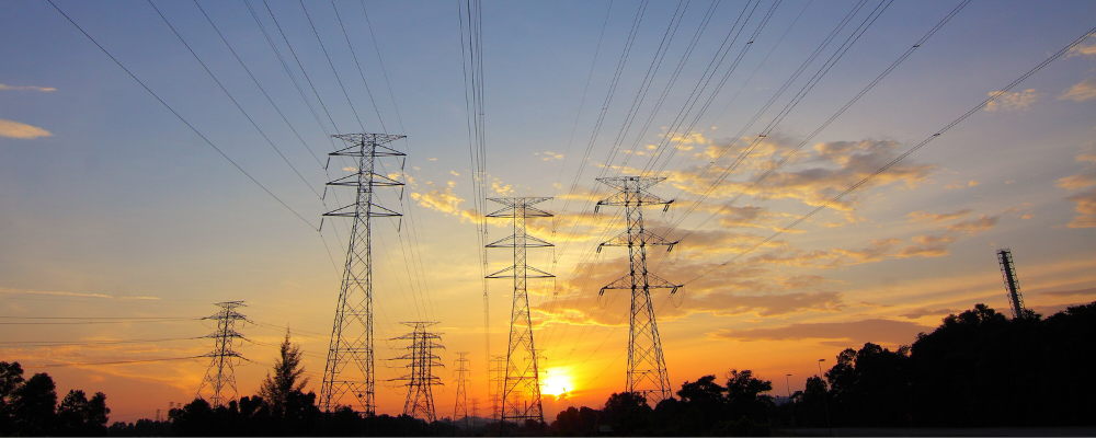
Understanding Wind Speed on Native Lands
Wind plays a significant role in shaping ecosystems, affecting infrastructure planning, and in overall renewable energy potential. Recognizing this, the Native Lands Advocacy Project (NLAP)
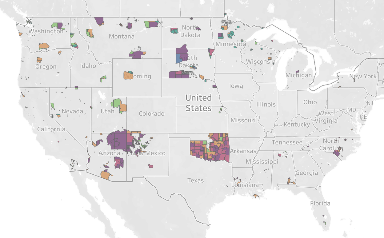
Reservations Experience Disproportionate Levels of Credit Insecurity
The new Credit Insecurity dashboard by the Native Lands Advocacy Project (NLAP) provides an at-a-glance understanding of tribal access to credit, revealing key discrepancies on