Support Services
The Native Lands Advocacy Project directly supports Native American Tribes and Native organizations in their efforts to recover, protect, and defend their lands and resources. On this page, we have highlighted some of these support initiatives.
Campaigns / Support Services of the Native Lands Advocacy Project
While the Native Lands Advocacy Project (NLAP) was founded in 2019, our team has over 20 years experience working in Indian Country on Native land tenure, mapping, and agriculture issues. Through this work, we have identified several competencies and focus areas that have formed the foundation of the NLAP, including Archival Research, GIS Mapping, and Data Collection, Analysis, and Visualization.
Contact us to discuss how we can support your efforts at info@nativeland.info or by calling 970-237-3002.
Below are some of the additional projects that exemplify our work and advocacy.
Core Competencies of NLAP
The Native Lands Advocacy Project / Village Earth can provide strategic support to Native American Tribes and Native organizations in the following areas:
- GIS mapping
- UAV (drone) Mapping
- Development of interactive web maps and storymaps
- Qualitative and quantitative data collection
- Data analysis
- Data visualization/data dashboards
- Archival research
- Boundary interrogation (reconstructing the history of boundary transformations/land loss based on original documentation)
- Support for the development of Integrated Resource Management Plans (IRMPs) and Agricultural Resource Management Plans (ARMPs)
- Training in GIS mapping, data collection, data analysis, visualization and reporting
- Development of CKAN open governance data portals (the same technology used by Data.gov)
- Data transcription and tabulation
- Census Challenges that comply with requirements of the Indian Housing Block Grant (IHBG).
Portfolio
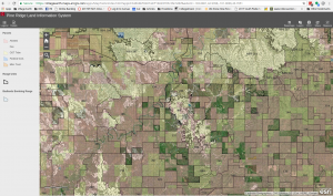
Pine Ridge Land Information System (PRLIS)
Developed in partnership with the Oglala Sioux Tribe Land Office and the Indian Land Tenure Foundation
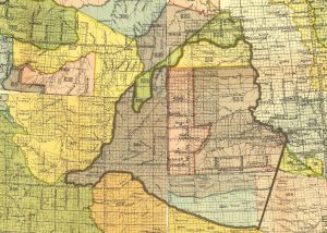
Sicangu Treaty Council Interactive Map
Sicangu Treaty Council Interactive Treaty Map for its website.
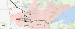
Honor the Earth: Stop Line 3 Waterprotector App
NLAP worked with Honor the Honor the Earth to map Line 3 infrastructure and develop a mobile app for volunteer waterprotectors to use to monitor each site.
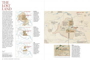
Map Consultant for National Geographic’s August 2012 Issue
Consulted on maps and provided fact-checking support for feature “In the Spirit of Crazy Horse”
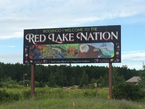
Red Lake Reservation Census Challenge
Successfully challenged the federal census numbers used for Indian Housing Block Grant amounting to a $1,074,880 increase in their allocation for 2018 and $743,417 to their 2019 allocation (retroactively applied)
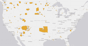
Cutting Through The Red Tape: An Indian Landowner’s Guide to Reading and Processing Federal Forms
Partnered with the Red Lake Reservation’s office of economic development to challenge the federal census numbers used for formula funding.
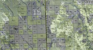
Pine Ridge Strategic Land Planning Map Book
Developed in partnership with the Oglala Sioux Tribe Land Office and the Indian Land Tenure Foundatoin

