Developed in partnership with the Oglala Sioux Tribe Land Office and the Indian Land Tenure Foundation
Pine Ridge Land Information System
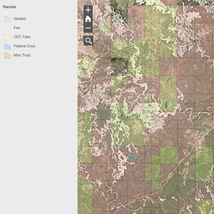
The Pine Ridge Land Information was developed in 2008 in response to a need by members of the Oglala Sioux Tribe to be able to find information about their lands for planning purposes. They system allows landowners the ability to enter their Tract ID number into a search box and the system zooms into the appropriate parcel. They can then turn on and off various thematic layers so they can determine how their lands are being used.
The leasing, fee patenting, and cluster housing all have contributed to alienated people from their allotted lands, separating them both physically and psychologically. Additionally, the federal government managed the transfer of lands from generation to generation allowing them to become horribly fractionated. Locating your lands is the first step for individuals and families to begin to reverse this separation and reverse fractionation through mechanisms such as consolidation and gift deeds.
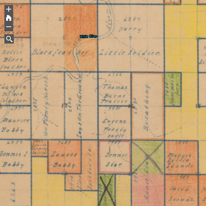
The system also enables individuals and families to research the history of their lands and reconstruct the chain of title from original allotment.
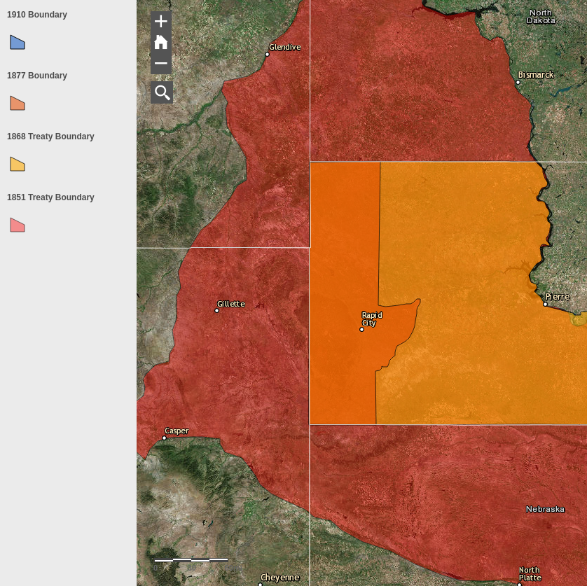
The PRLIS includes the original 1869 and 1851 Treaty Boundaries.
The PRLIS includes the original allotment map with and the ability to search by surname.