New to the NLIS? Start here!
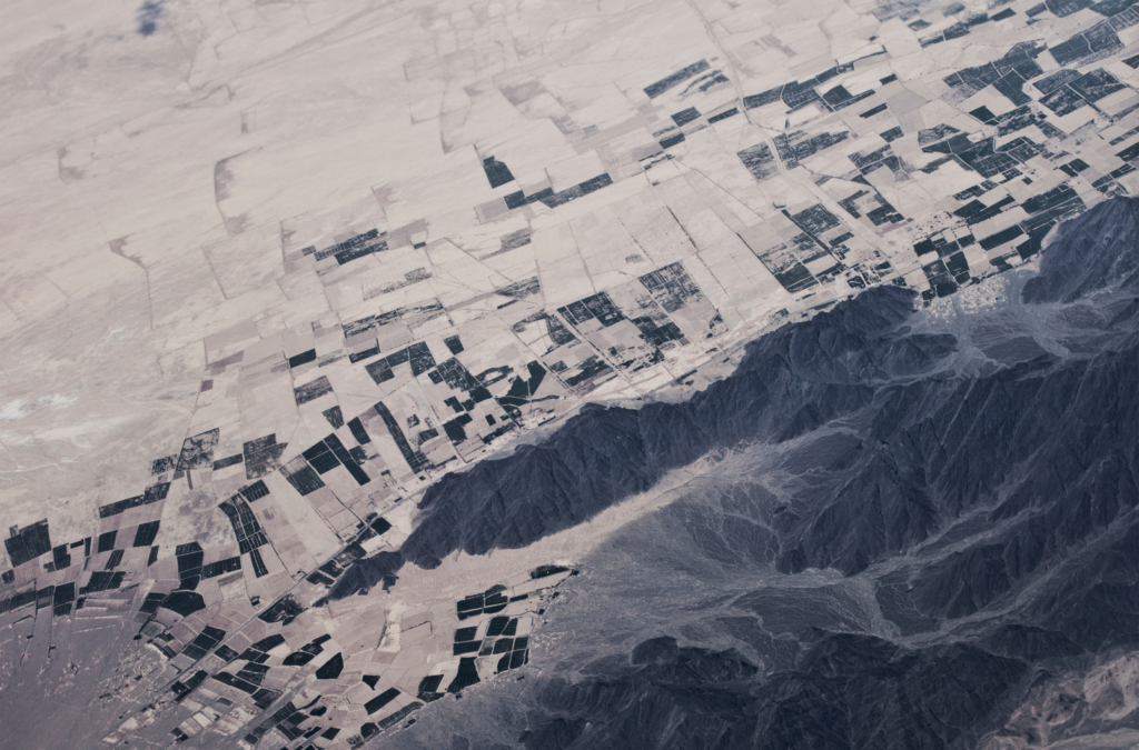
The Native Lands Advocacy Project (NLAP) compiles, consolidates, and visualizes data resources to support sovereign, sustainable, Native-led land planning and protection.
Keystone Data Tools for Native Land Planning: View the webinar recordings & share your feedback
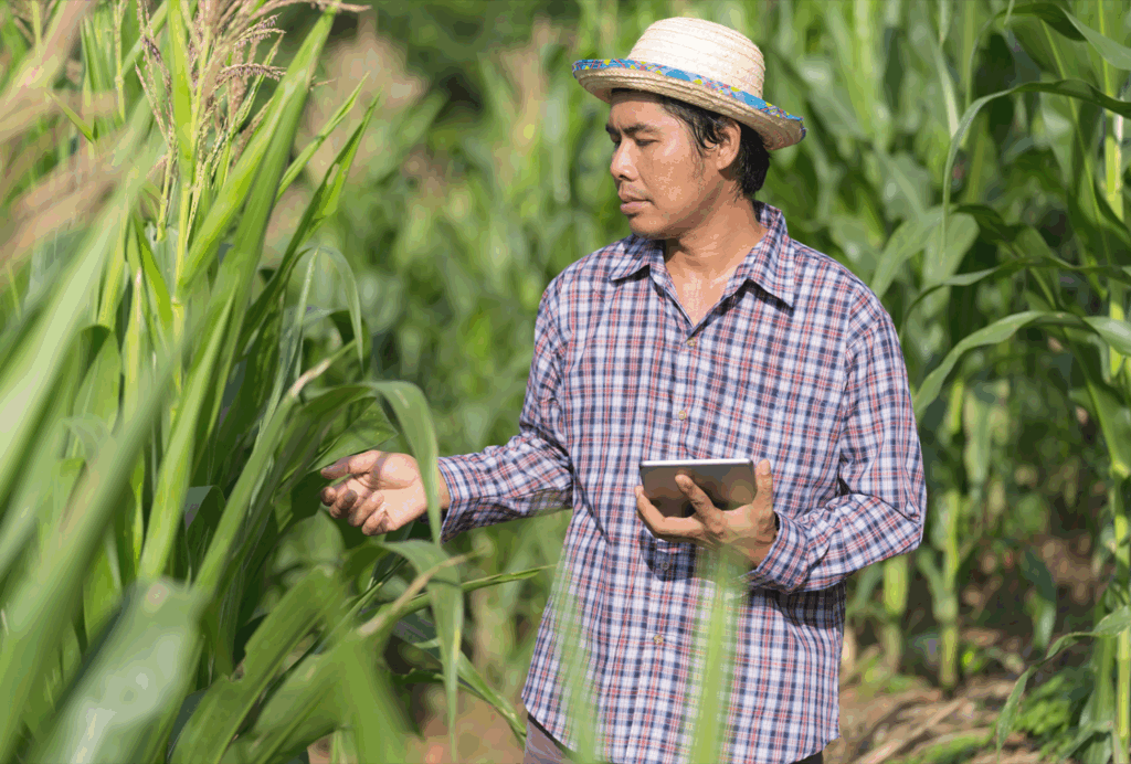
This month, the Native Lands Advocacy Project (NLAP) wrapped up our webinar series: Keystone Data Tools for Native Land Planning. These webinars introduced attendees to three foundational datasets that Native Nations & citizens can use to make informed, sovereign decisions for their futures: The USDA Census of Agriculture for American Indian Reservations The National Land […]
Announcing Our New Storymap: The Buffalo’s Resilience in the Face of Settler Colonialism
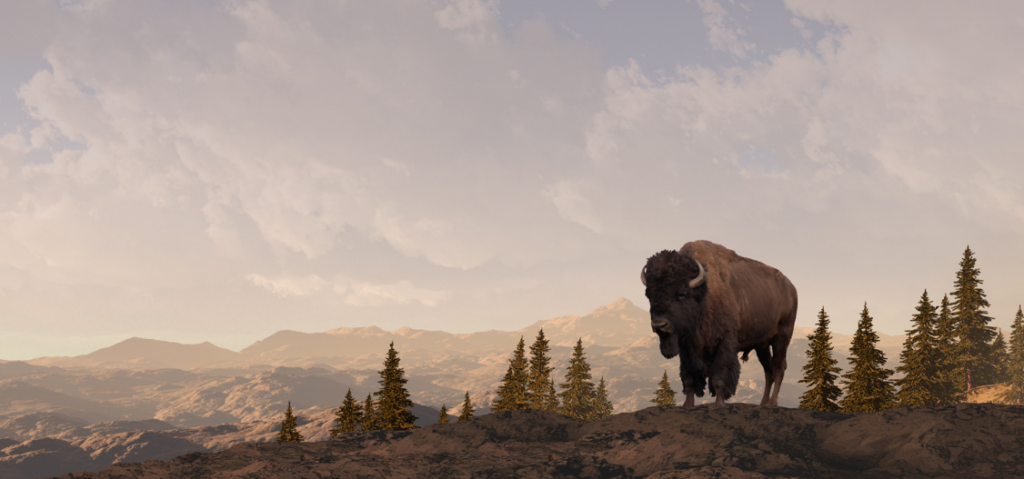
As Native nations reintroduce buffalo to the lands they’ve stewarded since time immemorial, their lands, ecosystems, and communities heal.
The Buffalo’s Resilience in the Face of Settler Colonialism

As Native nations reintroduce buffalo to the lands they’ve stewarded since time immemorial, their lands, ecosystems, and communities heal.
Data Tools for Native Ranchers
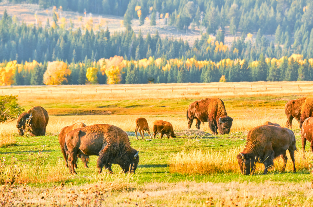
This storymap walks through each resource introduced on our “Data for Native Farmers” topic page.
Data Tools for Native Ranchers

Data Tools for Native Ranchers While the NLIS hosts a variety of resources related to agriculture on Native lands, this page highlights those that are specifically relevant to Native ranchers. Native ranchers are major contributors to their reservation economies, food systems, and land stewardship. The Native Lands Advocacy Project is committed to producing data tools […]
Culvert Condition Viewer
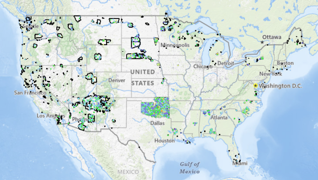
Explore Tribal Lands in the lower 48 states with this interactive map, showcasing culvert conditions and National Bridge Inventory (NBI) ratings to support environmental analysis and decision-making.
Species Richness on US Native Lands
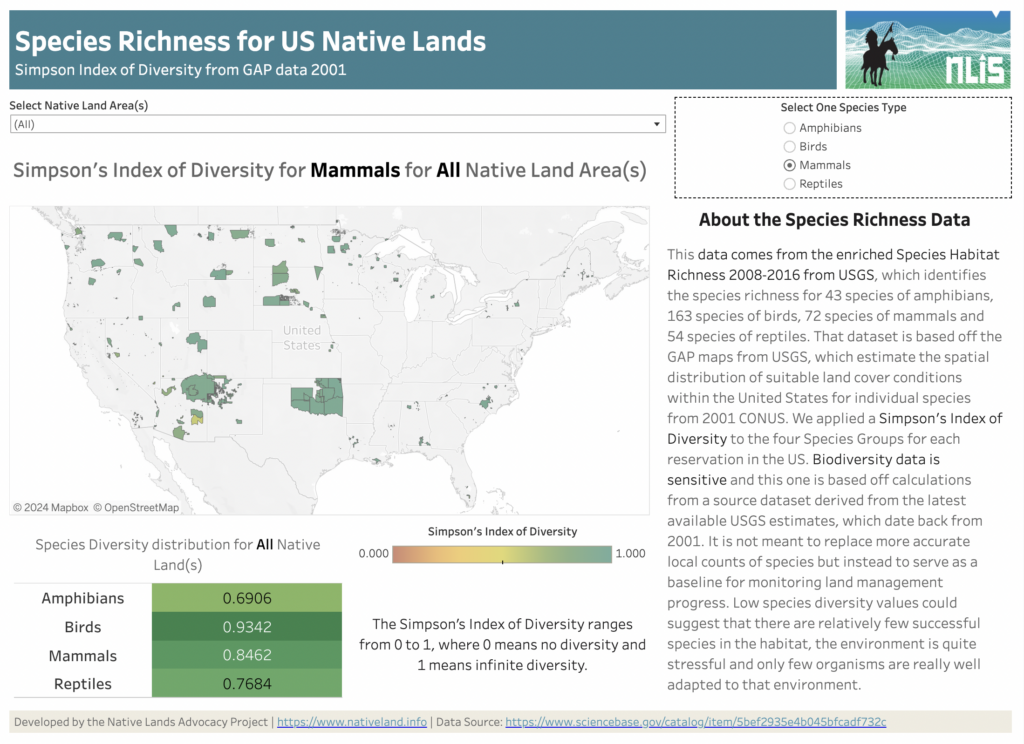
About this Dashboard Water Stress Categories 0 Native Land Areas 0 Datasets utilized 0 Possible Visualizations 0 About the Data This data comes from the Species Habitat Richness 2008-2016 from USGS, which identifies the species richness for 43 species of amphibians, 163 species of birds, 72 species of mammals, and 54 species of reptiles. This […]
Agricultural Water Stress on US Native Lands
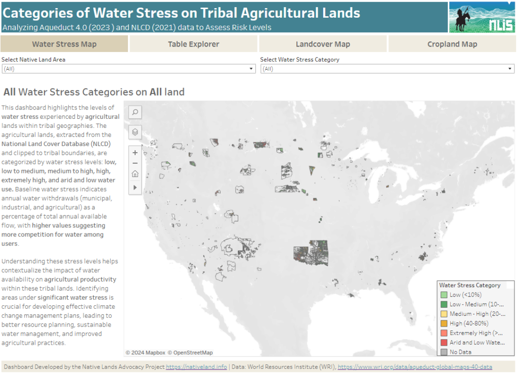
About this Dashboard This data dashboard summarizes data from the World Resources Institute, and the National Land Cover Database for Native Lands in the United States. It highlights the distribution and impact of water stress on agricultural lands within Native boundaries. The dashboard features detailed maps and interactive elements, allowing users to explore different water […]
Soil Organic Carbon Planning, Key to Building Tribal Climate Resiliency

As tribes continue to experience the impacts of climate change on their lands and communities, they are starting to invest more of their resources and planning strategies into protecting and enhancing their soil organic carbon (SOC).
The Power of Asdzáán in Agriculture: Data Shows Native Female Majority Among Navajo Operators

Of the 73 reservations that participated in 2017 Census of Agriculture, only the Navajo Nation and the Umatilla Confederated Tribes reported a Native female majority among their agricultural operators.
Reservation Croplands: How Native Farmers and Ranchers Can Leverage the USDA’s Cropland Data Layer for Land Planning

In 2022, there were about 110 million acres of cropland (5.7%) on Native American reservations (including on-reservation and off-reservation trust lands). What are these croplands and land covers? How have they changed over time? Why does this data matter?
