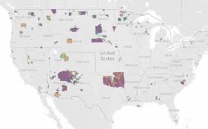
We have compiled and uploaded the most recent data from the 2021 Soil Survey Geographic Database (SSURGO) into our “Soil Capability on CONUS Native Lands” Dashboard!
According to the Natural Resources Conservation Service (NRCS),
The SSURGO database provides the most detailed level of information and was designed primarily for farm and ranch, landowner/user, township, county, or parish natural resource planning and management. Using the soil attributes, this database serves as an excellent source for determining erodible areas and developing erosion control practices; reviewing site development proposals and land use potential; making land use assessments and chemical fate assessments; and identifying potential wetlands and sand and gravel aquifer areas.
NRCS on SSURGO
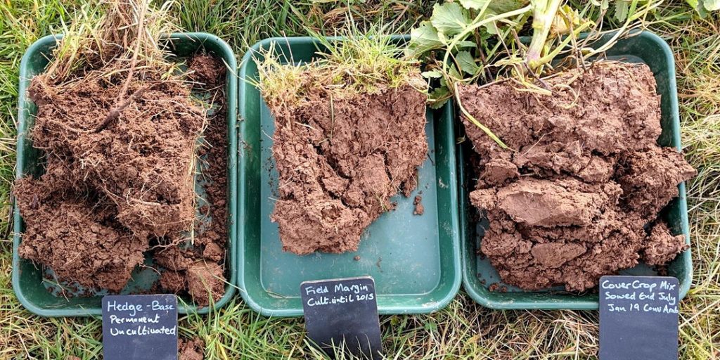
This means that, with the addition of the 2021 Soil Survey, our dashboard allows users to filter by one or more Native land areas to analyze soil health for:
- helping to determine general trends in land-usage and assess overall quality of their lands (when combined with local data and knowledge)
- production of cultivated crops
- identifying potential wetlands or pasture lands
- identifying sand and gravel aquifer areas
- identify areas of protection, and more!
What Does Soil Health Look Like on Your Reservation?
Analyze the suitability of soil on your reservation below, or visit our dashboard page to learn more!

