New to the NLIS? Start here!
The Native Lands Advocacy Project (NLAP) compiles, consolidates, and visualizes data resources to support sovereign, sustainable, Native-led land planning and protection.
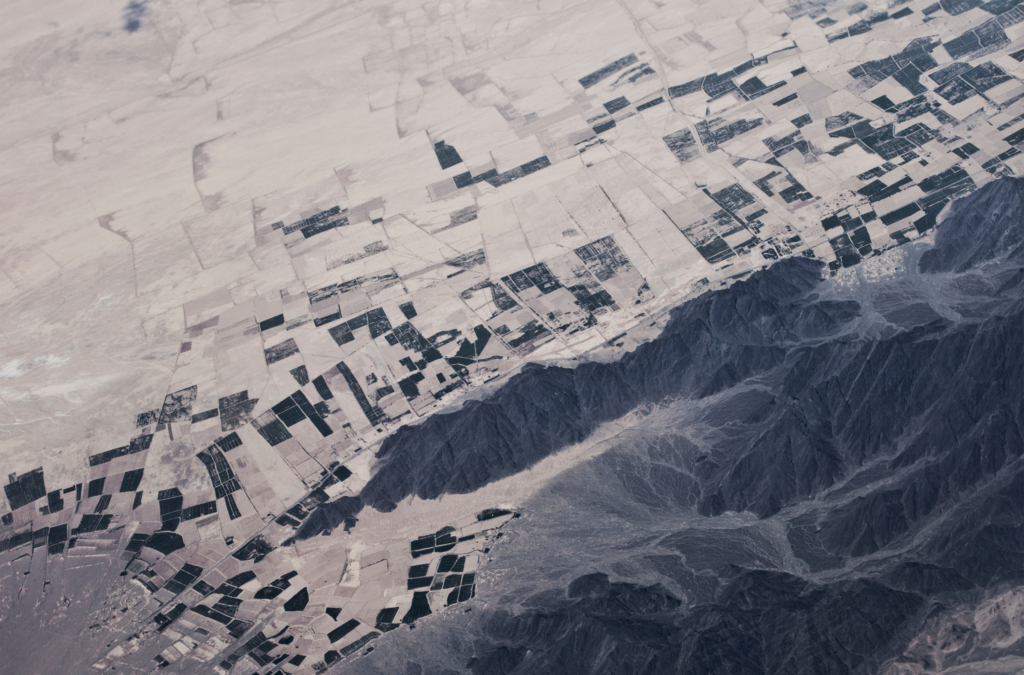
Empowering Tribal Climate Adaptation Through Data
Learn more about the first-of-its-kind Climate Data Portal for US Native Lands—designed to strategically support tribal climate planning.
Introducing the Climate Data Portal for U.S. Native Lands

The Native Lands Advocacy Project (NLAP) is thrilled to announce the launch of our Climate Data Portal for U.S. Native Lands! Developed with funding from the Native American Agriculture Fund, this portal is the result of our dedicated GIS team’s efforts to create & consolidate relevant climate-related data tools into one living resource. NLAP acknowledges […]
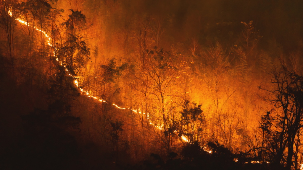
Introducing Our New Storymap: Good Fire: Mitigating Wildfire Risk & Healing Native Lands
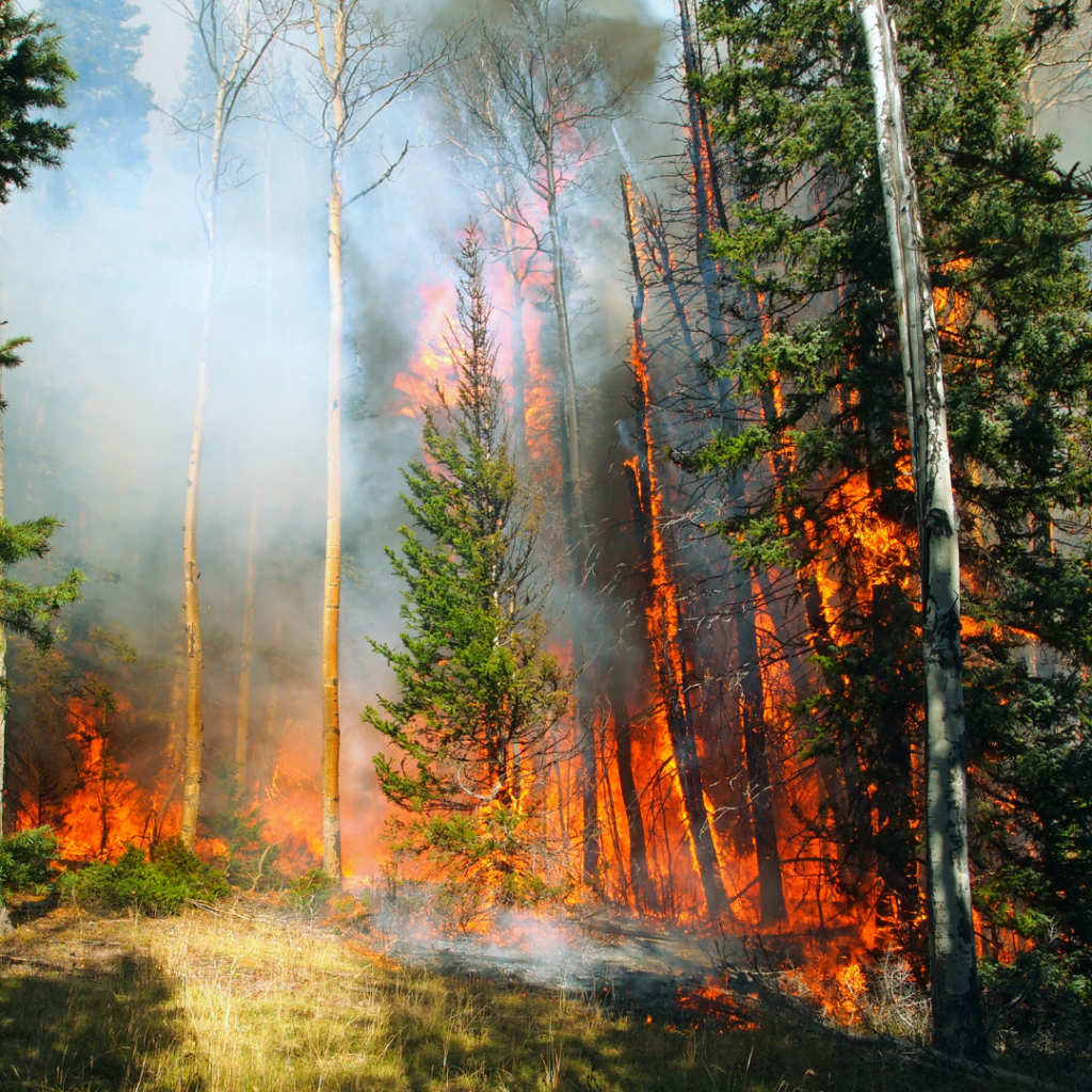
The Native Lands Advocacy Project is happy to announce our newest storymap: Good Fire: Mitigating Wildfire Risk & Healing Native Lands!
Good Fire: Mitigating Wildfire Risk & Healing Native Lands
After a long history of fire suppression in the United States, Native communities are reintroducing good fire to their lands.
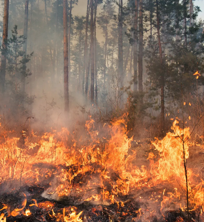
New Data Tools for Fire Stewardship on Native Lands
The Native Lands Advocacy Project (NLAP) is excited to highlight three data tools related to fire on U.S. Native lands. These three tools (our Thermal Activity Map, Environmental Risks Dashboard, and Extent of Fires on US Native Lands Dashboard) can help users understand the factors contributing to wildfires and their impact on Native Nations. These […]
Extent of Fires on US Native Lands
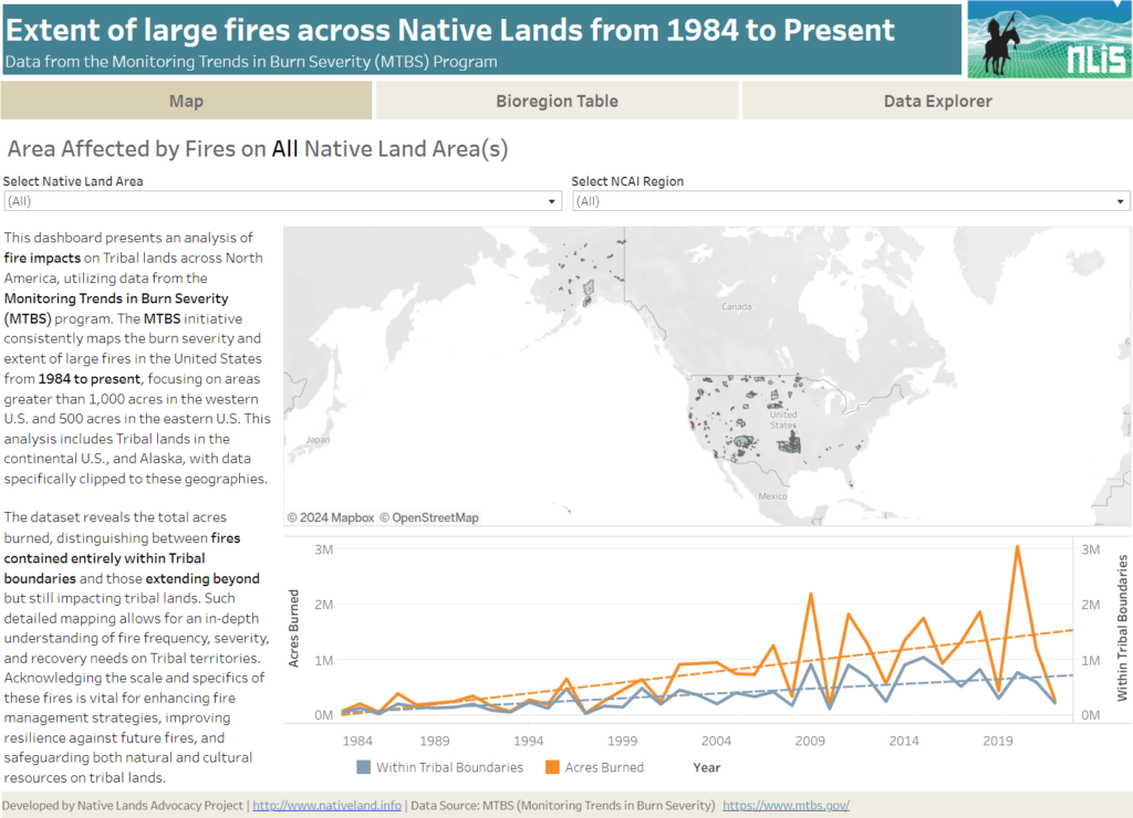
About this Dashboard This data dashboard summarizes data from the Monitoring Trends in Burn Severity (MTBS) Dataset, which the USGS EROS and the United States Department of Agriculture Forest Service jointly implemented. It highlights the distribution and impact of wildfires on Native lands between 1984 and 2022. The dashboard features detailed maps and interactive elements, allowing users […]
Thermal Activity on US Native Lands
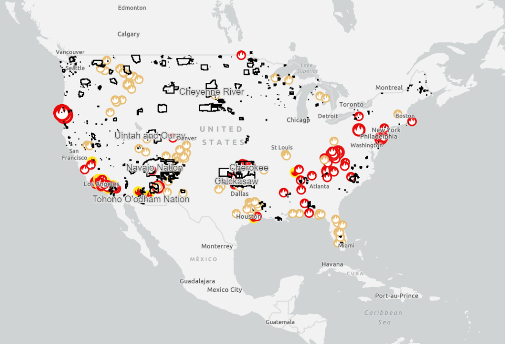
This map shows satellite detected hotspots and wildfire activity provided by federal, state, and local agencies.