ESRI Landsat Explorer
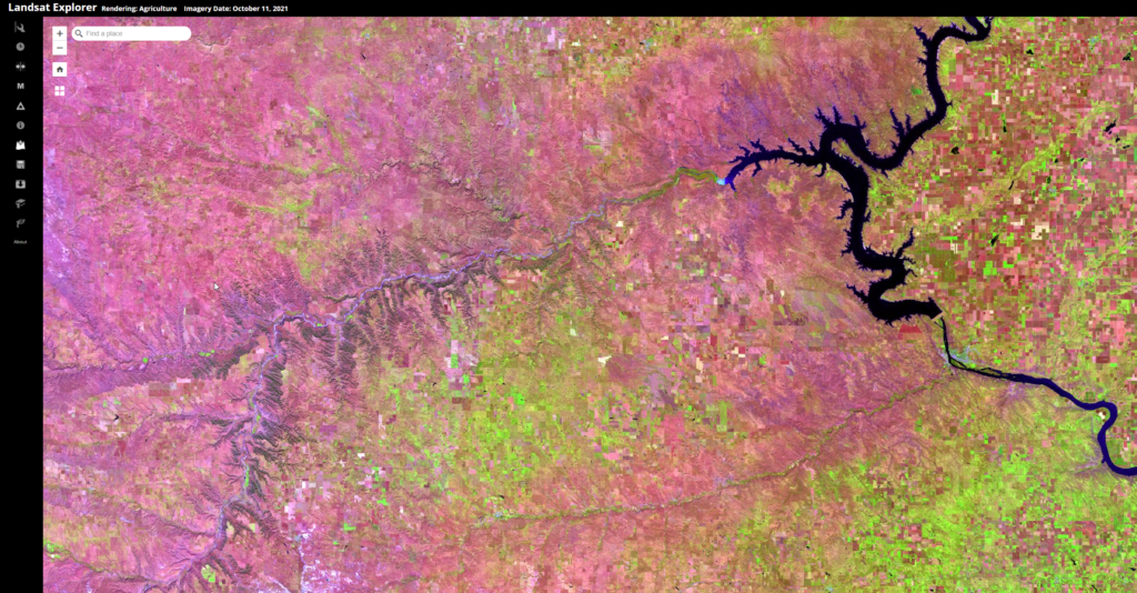
Esri Landsat Explorer app provides the power of Landsat satellites, which gather data beyond what the eye can see. Use this app to draw on Landsat’s different bands to better explore the planet’s geology, vegetation, agriculture, and cities. Additionally, access Landsat imagery from the last forty years to visualize how the Earth’s surface has changed over time.
From Land-Grant to #LandBack: A Story of Loss and Resilience
Land-grant universities were funded through the cession (by treaty, unratified treaty, or seizure without treaty) and subsequent sale of Native lands, which had far-reaching impacts on the 245 tribes and bands affected.
Completing the Narrative: Cheyenne River Sioux Tribe’s Policy Change Promotes Expansion of Native Agriculture Producers
By Raven McMullin Since the inception of the Native Lands Advocacy Project (NLAP), we have been committed to compiling publicly available datasets for the purpose of gaining a fuller understanding of Native American agriculture nationwide—and, more importantly, to compile a comprehensive data source for Native communities to utilize in the protection of their homelands. In […]
Use of Chemicals for Croplands on Native Lands by Non-Natives Considerably More Than Use by Natives

By Evelyn Red Lodge Sicangu Lakota (Rosebud Sioux Tribe Member) Given history, it is not surprising that non-Natives collect 87% of the agricultural revenue from federally recognized Native reservation lands. What is surprising is that even though Natives operate 49.29% of cropland farms on these reservation lands, 92% of all chemicals purchased for reservation cropland operations […]
USDA Census of Agriculture for American Indian Reservations
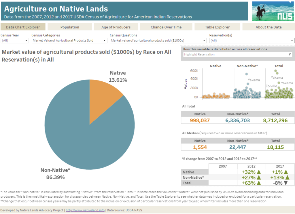
About this Dashboard This dashboard was developed by the Native Lands Advocacy Project to make data from the 2007, 2012, 2017, and 2022 USDA Census of Agriculture for American Indian Reservations more accessible for tribal stakeholders. Unlike the published data, this dashboard allows users to view data for a single reservation or multiple reservations in aggregate, […]
How Much Discriminatory Lending Practices Impact Agricultural Revenue on US Native Land
By Aude K. Chesnais Introduction: Lending and Debt on US Native Land In 2018, the Keepseagle settlement shed light on widespread lending discrimination across the native agricultural landscape. Native Americans sued the US Department of Agriculture in an attempt to settle historical lending discrimination, which resulted in a 720 million dollar settlement, split between individual […]
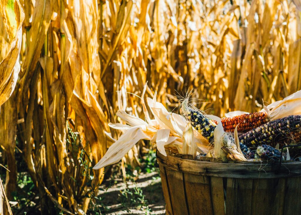
Sustainable Food Systems for US Native Lands: A Story Untold
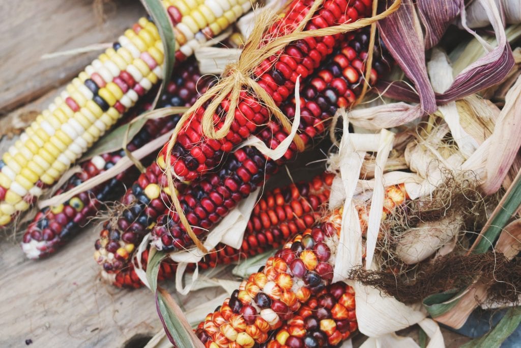
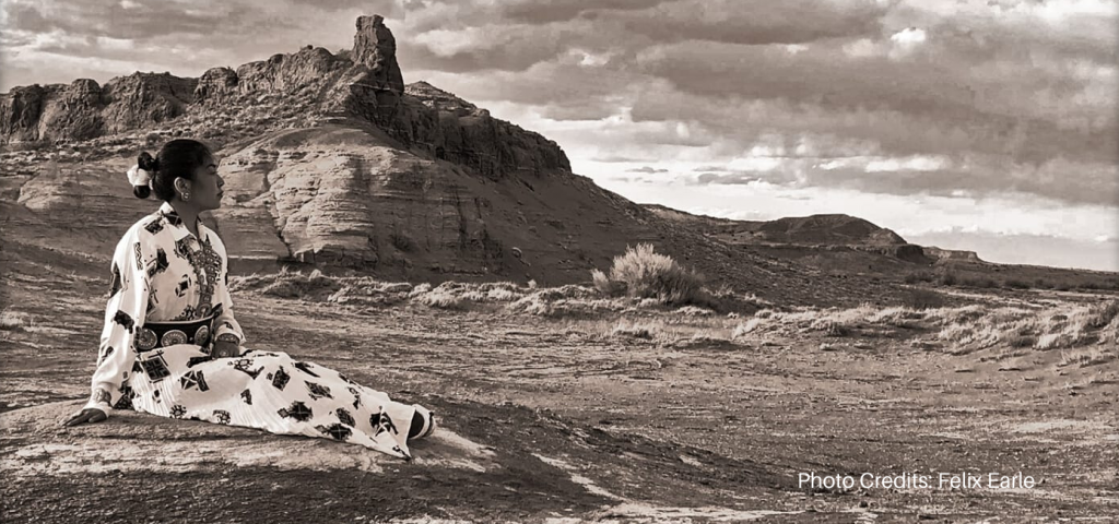
The myth of an “empty land” where Natives lived idly without making good use of their natural resources is persistent and served as the primary base to justify taking lands away from tribes. Contrary to stereotypes, Native Agriculture was diverse and flourishing prior to settler colonialism.
Bison Numbers Increase a Whopping 1031% on Native Lands!
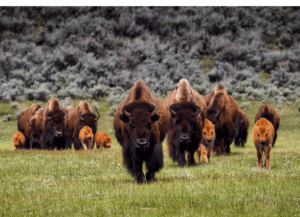
Between 2012 and 2017, bison numbers have significantly increased on Native lands. What factors have contributed to this major increase, and how does this fit within the larger historical context of American bison?
Non-Natives Control Majority of Harvested Cropland on Native American Reservations
According to the most recent 2017 data from the USDA Census of Agriculture for American Indian Reservations 86.33% of harvested cropland on American Indian Reservations is operated by non-natives. In total, this amounts to 3.3 million acres of land operated by non-natives compared to only 532 thousand acres operated by Native Americans (see chart below). […]
The General Allotment Act of 1887 Crippled Native Agriculture for Generations
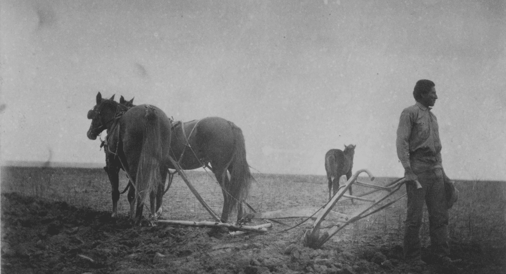
Today, the US Bureau of Indian Affairs (BIA) holds 66 million acres of lands in trust for various Indian tribes and individuals. Approximately 46 million acres (69%) of this land is used for farming and grazing by livestock and game animals. However, Native Americans are not the primary beneficiaries of agriculture on their lands. According to the […]
Women’s Representation in Agriculture Greater Among Native Americans
Increasing the proportion of women in agriculture has been a longstanding goal of agencies like USDA, FSA and programs like 4H but these programs may be able to learn a thing or two from Indian Country which has nearly equal participation among men and women. This is according to data collected in the 2017 USDA […]
Non-Natives Control 81% of Harvested Cropland and Capture 74% of Agricultural Revenue on South Dakota Reservations
Data from the USDA Census of Agriculture for American Indian reservations demonstrates that Native Americans are not the primary beneficiaries of their lands and resources in South Dakota.