Agricultural Water Stress on US Native Lands
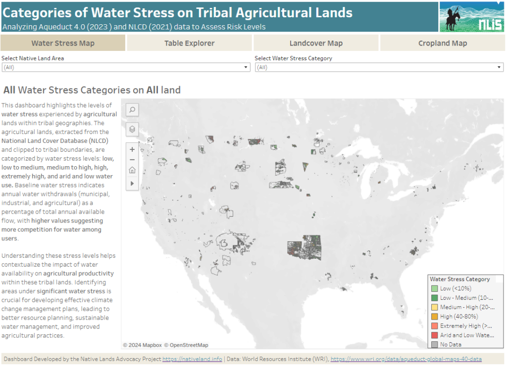
About this Dashboard This data dashboard summarizes data from the World Resources Institute, and the National Land Cover Database for Native Lands in the United States. It highlights the distribution and impact of water stress on agricultural lands within Native boundaries. The dashboard features detailed maps and interactive elements, allowing users to explore different water […]
Soil Organic Carbon Planning, Key to Building Tribal Climate Resiliency
As tribes continue to experience the impacts of climate change on their lands and communities, they are starting to invest more of their resources and planning strategies into protecting and enhancing their soil organic carbon (SOC).
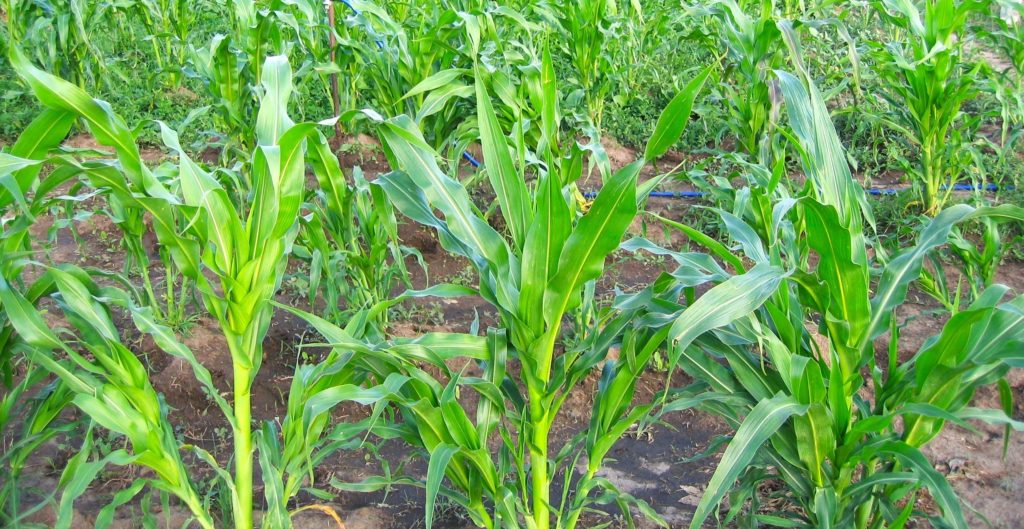
Crop Diversity on Native Lands
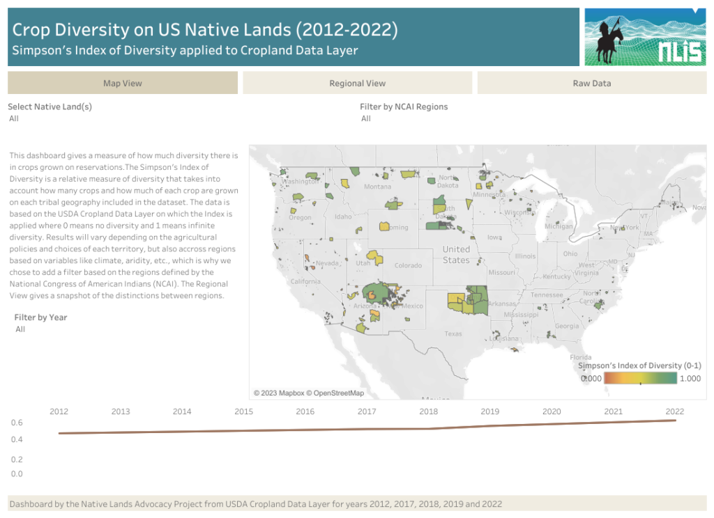
Our new Cropland Diversity data dashboard is the first index of Cropland Diversity ever calculated and published for US Native Lands. What findings does this dashboard reveal? And why does this data matter?
Reservation Croplands: How Native Farmers and Ranchers Can Leverage the USDA’s Cropland Data Layer for Land Planning
In 2022, there were about 110 million acres of cropland (5.7%) on Native American reservations (including on-reservation and off-reservation trust lands). What are these croplands and land covers? How have they changed over time? Why does this data matter?
International Day of Biological Diversity: Data Tools for Indigenous Stewardship

Indigenous models of reciprocity and responsibility in land-caretaking offer an alternative to the extractive, exploitative, and commodified ways of relating with the land that are dominant in Western practice.
Introducing New Resource Tools for Grassland Protection and Restoration
NLAP is happy to announce two new resource tools for grassland and biodiversity protection: our storymap, Grasslands: The Land and the People that Call it Home, and our Conservation Reserve Program Dashboard!
Conservation Reserve Program
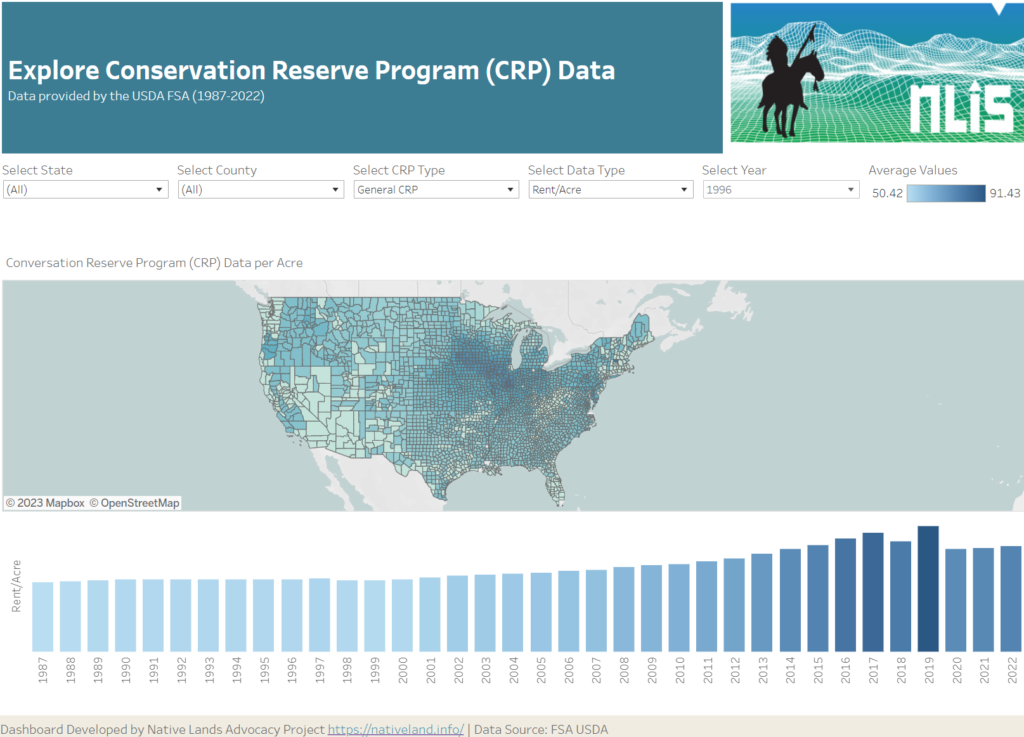
About this Dashboard This data dashboard summarizes data from the USDA FSA conservation reserve program (CRP) for every eligible county in the United States since the program’s inception in 1986 (data for years 1987-2022). The data in this dashboard shows state and county averages in addition to yearly enrollment and rent totals. Years of Coverage […]
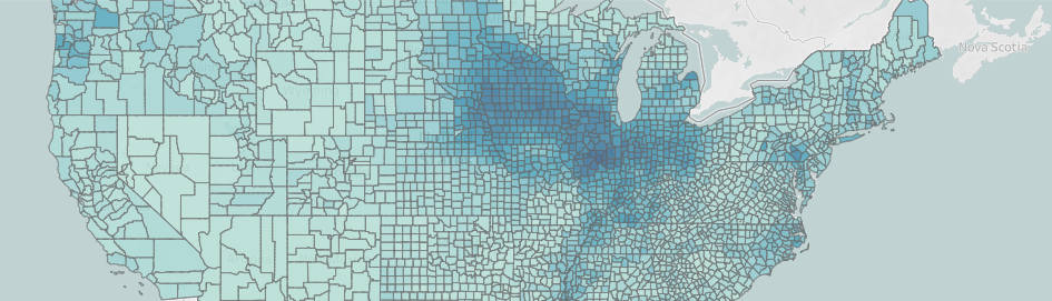
Soil Organic Carbon for Land Planning on Native Lands
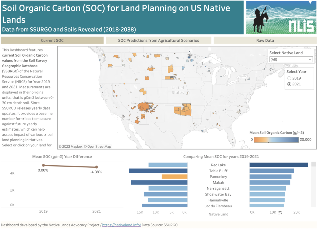
About this Dashboard This data dashboard summarizes past and present Soil Organic Carbon (SOC) data for all Native Lands but also future estimates depending on different agricultural scenarios. Data comes from the Soils Survey Geographic Database (SSURGO) for past and most to date available values (2019 and 2021). For future scenarios, we used estimates from […]
Grasslands: The Lands and the People That Call Them Home
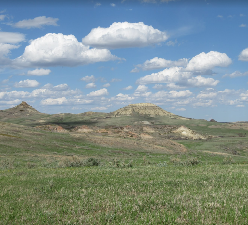
Take a deep dive into the world of grasslands and learn more about: different characteristics of grasslands, Native care of grasslands historically and today, and how grasslands serve and support our world’s ecology, economies, and climate.
2023 Farm Bill: Native Farm Bill Coalition Priorities & How the NLIS Can Help
By Raven McMullin It goes without saying that the food system in the United States was created without the intent of maintaining or supporting traditional Native foodways. In fact, more than neglecting these traditional systems, new settlers sought to destroy Native food sources and economies—forcing dependence upon a strange and commodified food chain. However, traditional […]
US Drought Monitor (Google Earth Engine)
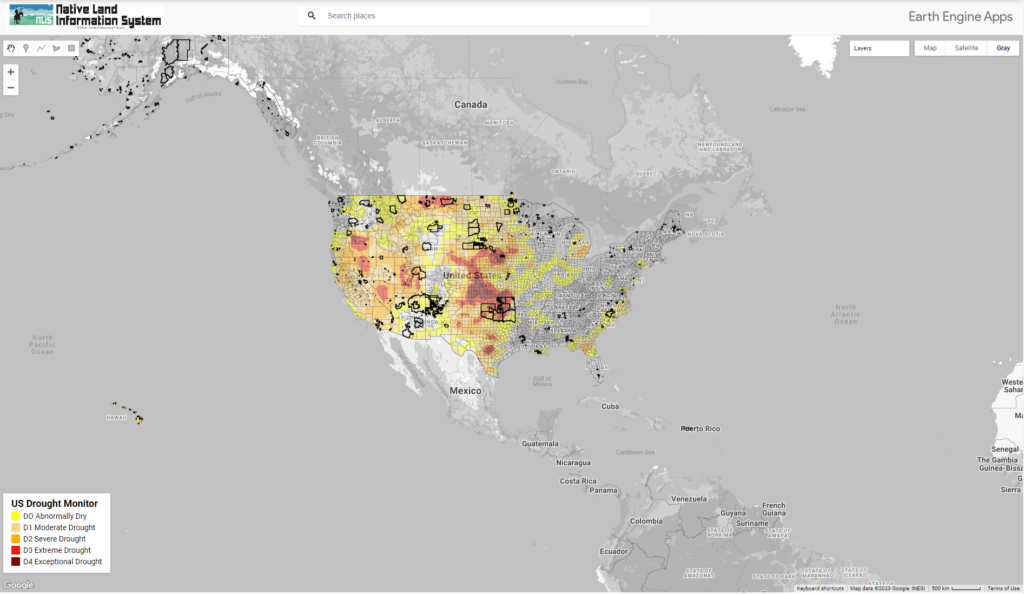
This map displays US Drought Conditions updated every Thursday as reported by National Drought Mitigation Center (NDMC)
Lakota Organic Growers Embrace Food Sovereignty in Times of Drought and Scarcity
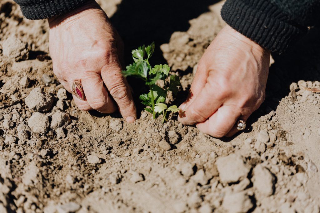
This blog is the second of two posts analyzing the challenges Native communities face accessing clean, sustainable water. Click here if you’d like to read part one. In South Dakota, west of the Missouri River, Lakota farmers have taken steps toward food sovereignty while grappling with limited funds, contaminated wells, and droughts. On the Pine Ridge reservation, semi-arid […]