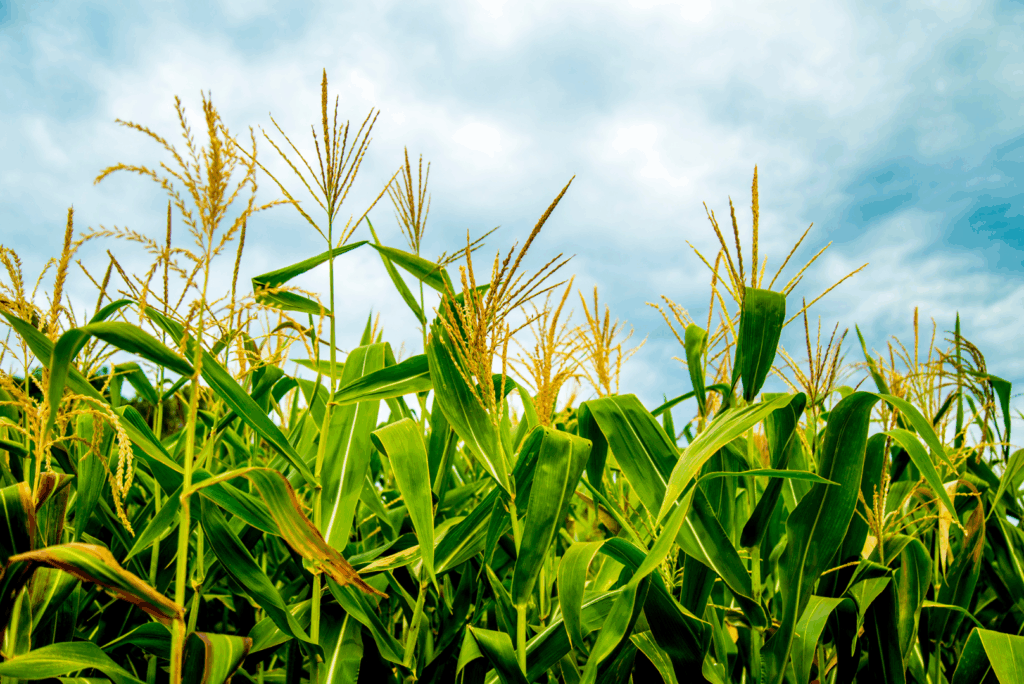
Use of Chemicals for Croplands on Native Lands by Non-Natives Considerably More Than Use by Natives

By Evelyn Red Lodge Sicangu Lakota (Rosebud Sioux Tribe Member) Given history, it is not surprising that non-Natives collect 87% of the agricultural revenue from federally recognized Native reservation lands. What is surprising is that even though Natives operate 49.29% of cropland farms on these reservation lands, 92% of all chemicals purchased for reservation cropland operations […]
NLAP Presents Lost Agriculture Revenue Database to Oceti Sakowin Titunwan Lakota Oyate Treaty Conference – 12/16/2021
David Bartecchi, Director of Village Earth and its Native Lands Advocacy Project (NLAP), had the honor to present the project’s Lost Agriculture Revenue Database (LARD) at the 3rd Annual Oceti Sakowin Titunwan Lakota Oyate Treaty Conference, December 14-16 in Rapid City, South Dakota. The conference was hosted in partnership with the International Indian Treaty Council […]
Non-Natives Control Majority of Harvested Cropland on Native American Reservations
According to the most recent 2017 data from the USDA Census of Agriculture for American Indian Reservations 86.33% of harvested cropland on American Indian Reservations is operated by non-natives. In total, this amounts to 3.3 million acres of land operated by non-natives compared to only 532 thousand acres operated by Native Americans (see chart below). […]
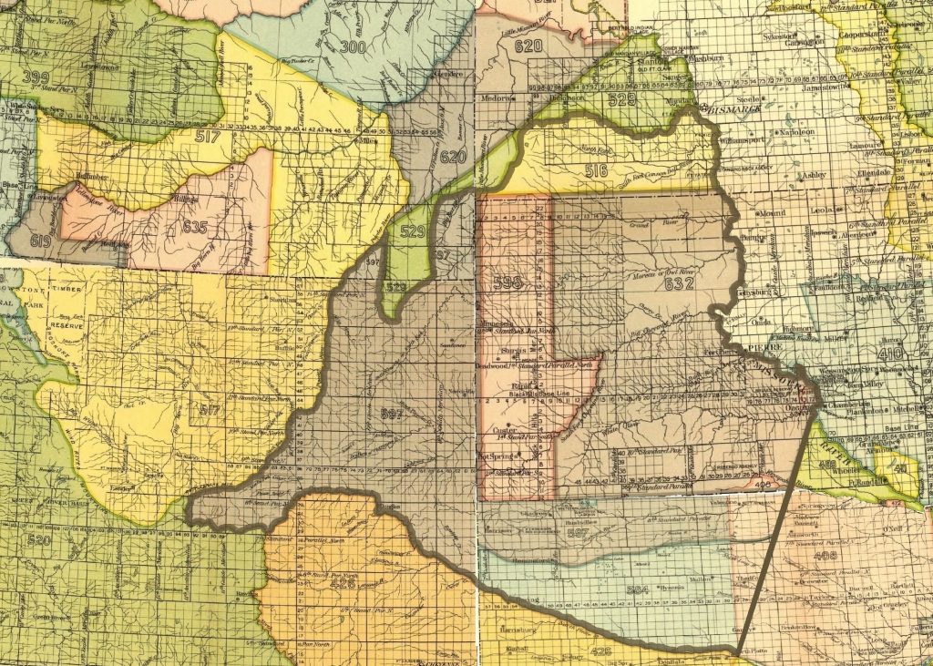
Re-introducing the Lakota Lands Information System
The Pine Ridge Land Information System (PRLIS) is a web-based land information system designed to assist members of the Oglala Sioux Tribe to access information about their lands and resources. The PRLIS was developed Village Earth (a 501(c)(3) not-for-profit in partnership with the Oglala Sioux Tribe Land Office and made possible with support from the Indian Land Tenure Foundation.
NLIS Launches New Interactive Data Visualization of US Hazardous Liquids Spills, Pipelines, and Reservation Lands
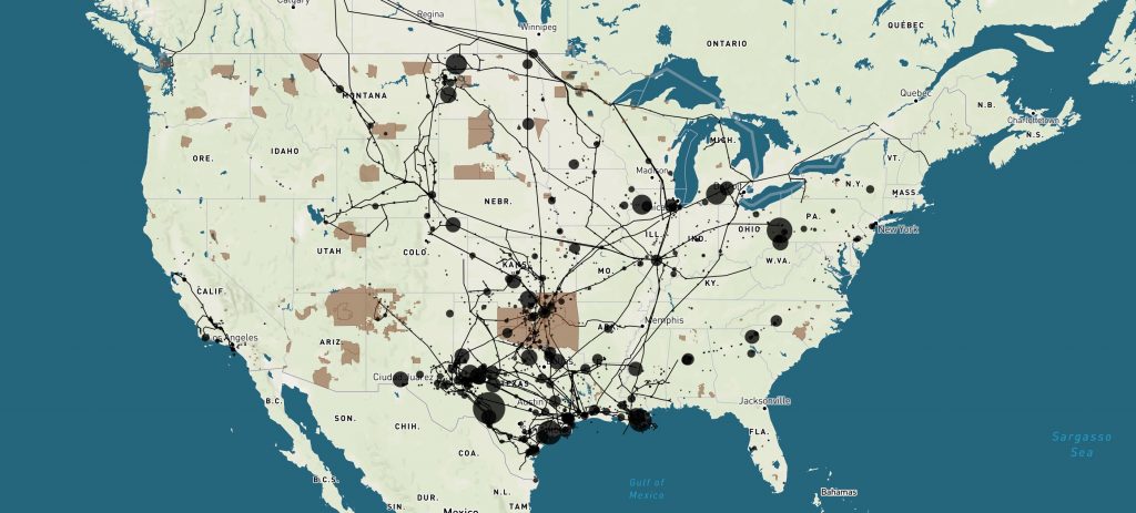
Today, the Native Land Information System launched a new interactive data visualization of US Hazardous Liquids Spills from 2010 to 2020. The viz draws on data from the US Department Transportation’s Pipeline and Hazardous Materials Safety Administration and displays 3,398 separate spills over a 10 year period or an average of 29 spills each month! The tool […]
The General Allotment Act of 1887 Crippled Native Agriculture for Generations
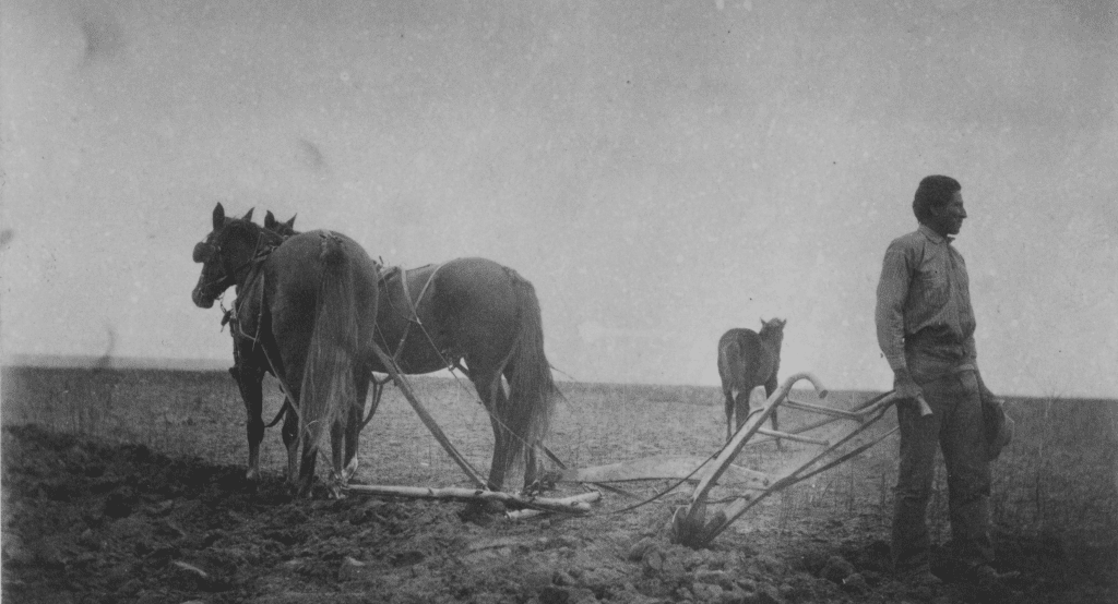
Today, the US Bureau of Indian Affairs (BIA) holds 66 million acres of lands in trust for various Indian tribes and individuals. Approximately 46 million acres (69%) of this land is used for farming and grazing by livestock and game animals. However, Native Americans are not the primary beneficiaries of agriculture on their lands. According to the […]
Non-Natives Control 81% of Harvested Cropland and Capture 74% of Agricultural Revenue on South Dakota Reservations
Data from the USDA Census of Agriculture for American Indian reservations demonstrates that Native Americans are not the primary beneficiaries of their lands and resources in South Dakota.
Explore the Data from the 2012 & 2017 USDA Census of Agriculture for American Indian Reservations
The Census of Agriculture is the most complete source of data on agricultural producers and farms on American Indian Reservations.
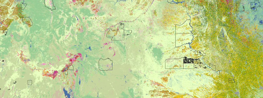
The Cropland Data Layer Dashboard Gives Unprecedented View of What’s Growing on U.S. Native Lands
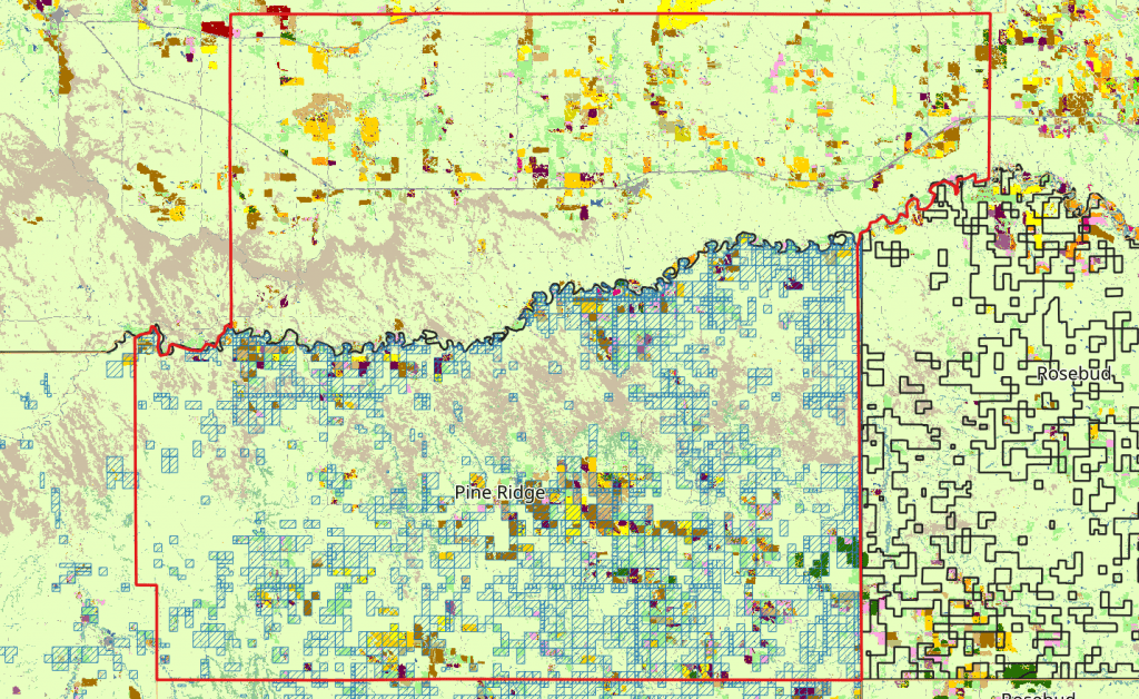
The NLIS Cropland Data Layer dashboard presents data for what’s growing on 552 unique Native land areas in the coterminous United States.
Introducing the Native Land Information System
The Native Land Information System serves as a repository of learning resources, information, and data to help defend and protect Native lands for the benefit of Native peoples.