Skip to content
  • About
    • About
    • Our History
    • Testimonials & Partners
    • Support Services
    • Data Sovereignty
    • Contact
    • Work With Us
      • Staff Opportunities
      • Call for Submissions
      • Join Our Opportunities Mailing List
  • Data Tools
    • Dashboards
    • Maps
    • Storymaps
    • Source Data
  • Data Portals
    • ARMP-IRMP Planning Portal
    • Climate Data Portal for US Native Lands
    • Food System Transition Index
    • Lost Agriculture Revenue Database
  • Topics
    • Native Agriculture & Land Use
    • The Status of Native Lands
    • Data Tools for Native Farmers
    • Data Tools for Native Ranchers
    • Stay tuned for more topics!
  • Blog
  • Donate
  • Search

Tag: Air

For the Air theme on the Climate Data Portal

US Drought Monitor (Google Earth Engine)

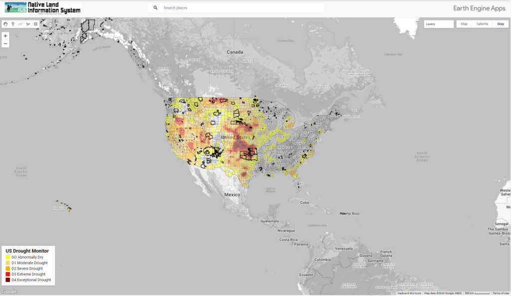
This map displays US Drought Conditions updated every Thursday as reported by National Drought Mitigation Center (NDMC)

← Previous

Join our mailing list

Sponsors

Contact

  • PO Box 797 | Fort Collins, CO. 80522
  • info@nativeland.info

Site Navigation

  • About Us
  • Dashboards
  • Maps
  • Storymaps
  • Blog
  • Contact Us

© All rights reserved

Facebook-f Instagram Twitter Linkedin Youtube