Federally-funded Projects in Indian Country

About this Dashboard This data dashboard summarizes data about federally-funded projects within tribal boundaries from the Bipartisan Infrastructure Law and the Infrastructure Reduction Act. The visualization displays funds amounts and categories of federal project for all tribes for years 2022 through 2025 (it has not been modified for eventual funding freezes resulting from the current […]
Announcing our Webinar Series: Keystone Data Tools for Native Land Planning

The Native Lands Advocacy Project (NLAP) is hosting a webinar series on three of our key data tools. Join these 45-minute webinars to learn about our Agriculture on Native Lands dashboard, Land Cover dashboard and map, and Cropland Data Layer dashboard! These free, public data tools are not only powerful for tribal planning on their […]
Bureau of Indian Affairs Budget by Categories
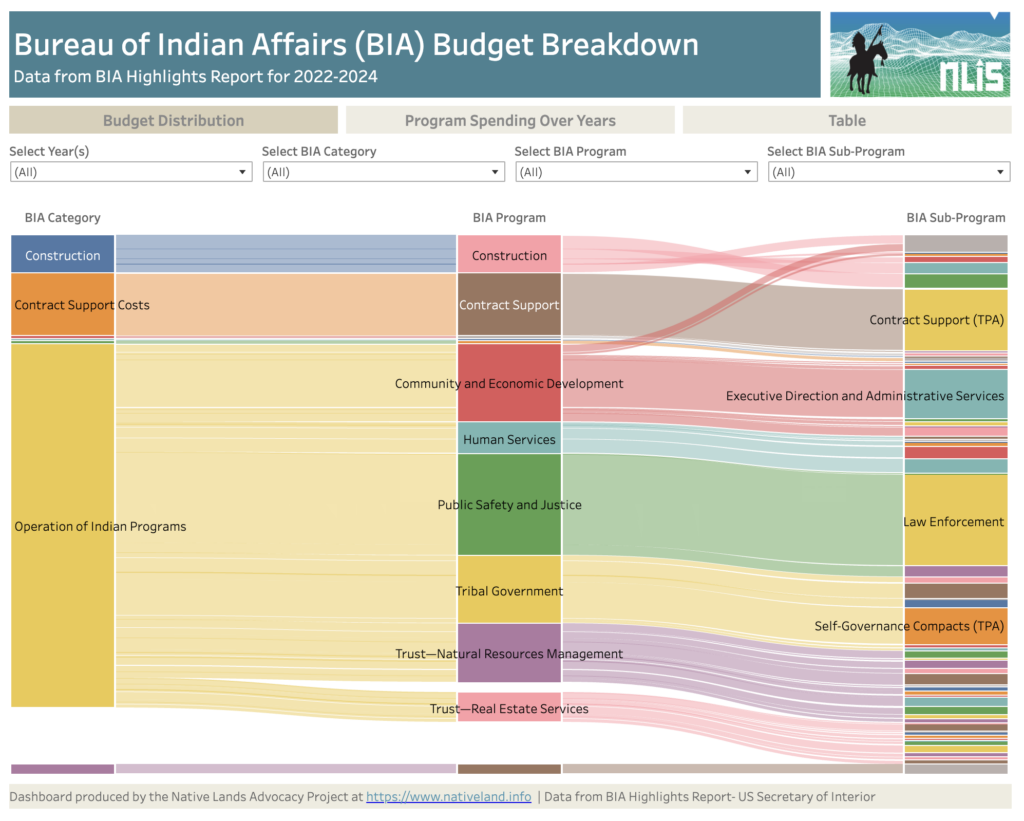
About this Dashboard This data dashboard summarizes data from the United States Secretary of Interior; it features the Bureau of Indian Affairs Yearly Highlights Reports, which show BIA spending by categories, programs and subprograms for years 2022, 2023, annualized CR (estimates) for 2024 and requested budget for 2025. We digitized these static reports in an […]
Introducing the 2022 Updates to the USDA’s Census of Agriculture Dashboard
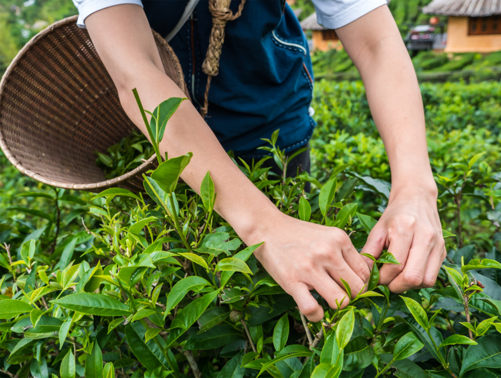
The Native Lands Advocacy Project (NLAP) is pleased to announce that our Agriculture on Native Lands Dashboard is now updated with data from the 2022 Census of Agriculture for American Indian Reservations! These updates, which we examine in this blog post, add to the dashboard’s functionality for users seeking to examine land and agricultural data […]
FSA Spending Dashboard: Insights from 2021 & 2023 Across Native and Non-Native Lands

About this Dashboard This interactive dashboard provides a detailed analysis of USDA Farm Service Agency (FSA) program disbursements for 2021 and 2023, offering insights into federal spending on agricultural programs across the United States. The dashboard includes data for all FSA program recipients, providing a comprehensive view of how funds were allocated during these years […]
Announcing Our New Storymap: The Buffalo’s Resilience in the Face of Settler Colonialism
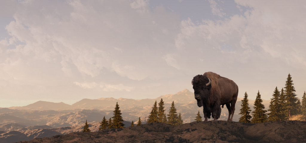
As Native nations reintroduce buffalo to the lands they’ve stewarded since time immemorial, their lands, ecosystems, and communities heal.
The Buffalo’s Resilience in the Face of Settler Colonialism
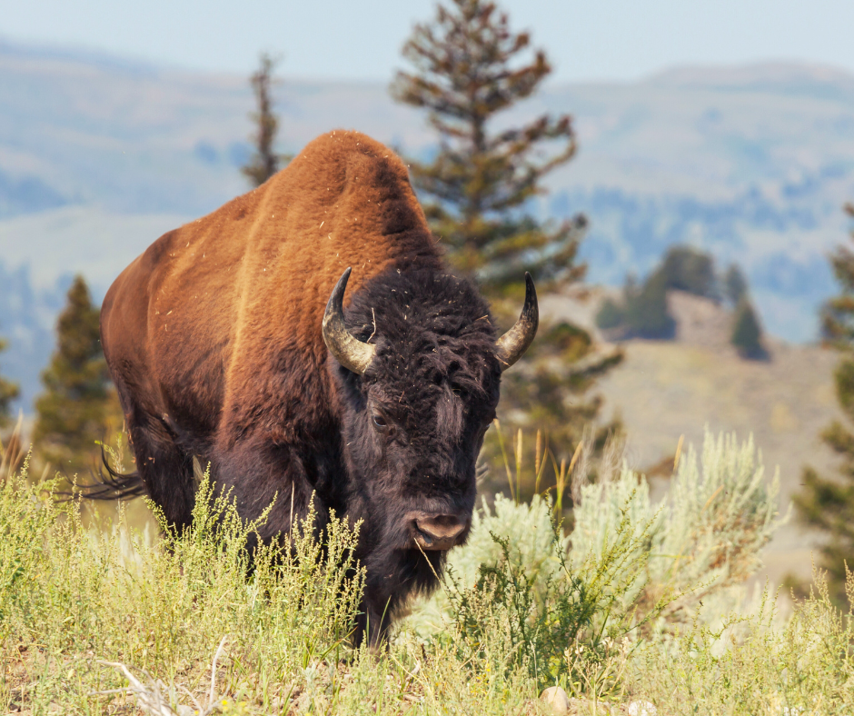
As Native nations reintroduce buffalo to the lands they’ve stewarded since time immemorial, their lands, ecosystems, and communities heal.
Check Out These Data Tools for Native Farmers & Ranchers

Native farmers and ranchers are major contributors to their reservation economies, food systems, and land stewardship. Recognizing this, NLAP has created dedicated pages of Data Tools for Native Farmers and Data Tools for Native Ranchers. Read more about these pages here.
Data Tools for Native Ranchers

This storymap walks through each resource introduced on our “Data for Native Farmers” topic page.
Data Tools for Native Ranchers
Data Tools for Native Ranchers While the NLIS hosts a variety of resources related to agriculture on Native lands, this page highlights those that are specifically relevant to Native ranchers. Native ranchers are major contributors to their reservation economies, food systems, and land stewardship. The Native Lands Advocacy Project is committed to producing data tools […]
Data Tools for Native Farmers
This storymap walks through each resource introduced on our “Data for Native Farmers” topic page.
Climate Data Portal for US Native Lands
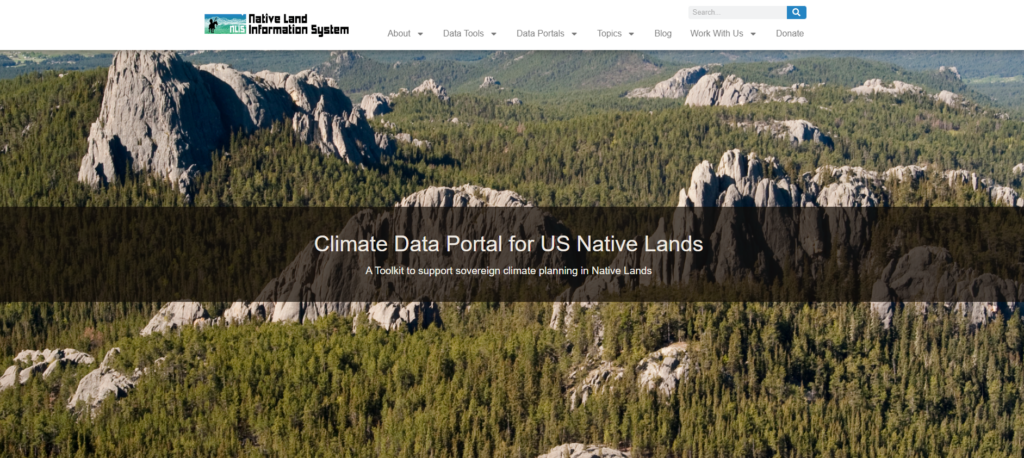
Climate Data Portal for US Native Lands A toolkit to support sovereign climate planning on Native Lands This Climate Data Portal is thoughtfully designed to align with the non-linear, holistic approach tribes take when addressing climate adaptation. Drawing inspiration from the teachings of indigenous world views, which emphasize that the five basic needs of life—food, fire, […]