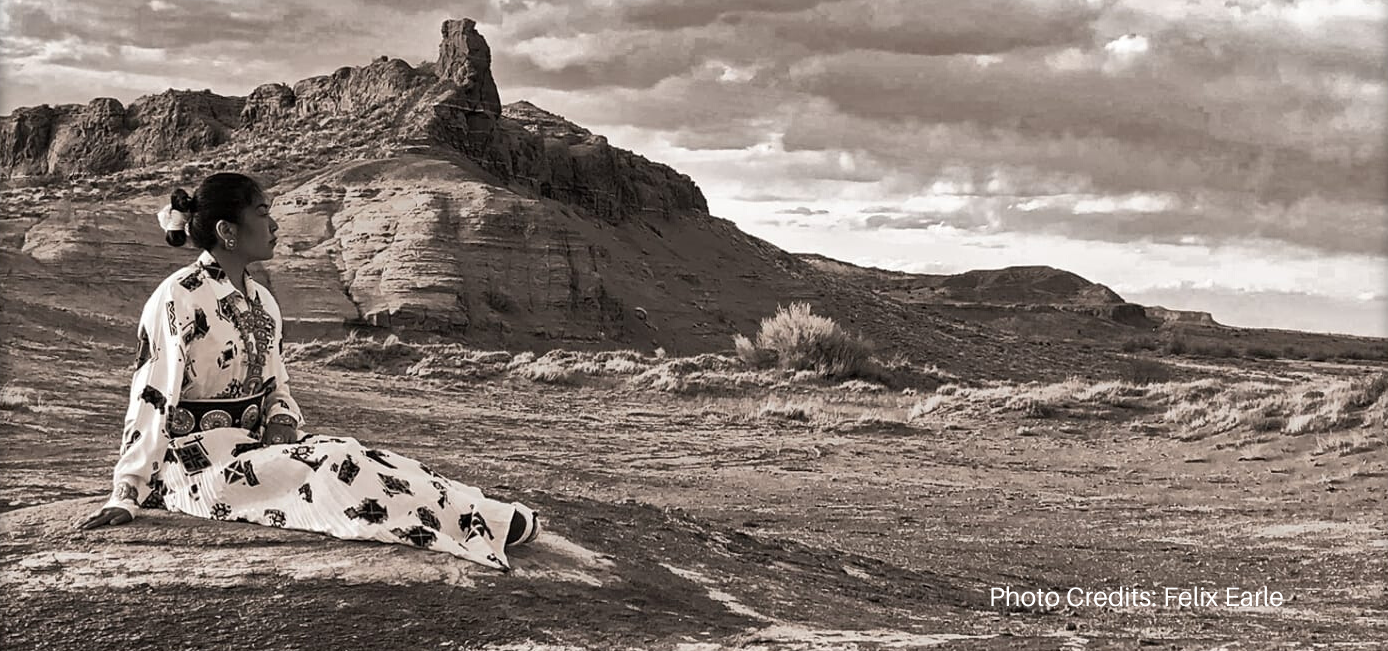
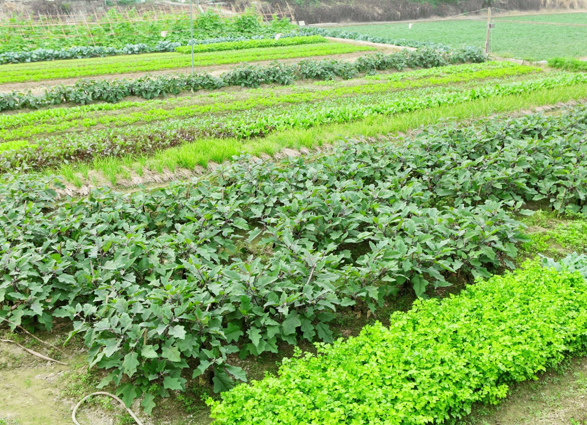
Non-Natives Control Majority of Harvested Cropland on Native American Reservations
According to the most recent 2017 data from the USDA Census of Agriculture for American Indian Reservations 86.33% of harvested
According to the most recent 2017 data from the USDA Census of Agriculture for American Indian Reservations 86.33% of harvested
The Pine Ridge Land Information System (PRLIS) is a web-based land information system designed to assist members of the Oglala Sioux Tribe to access information about their lands and resources. The PRLIS was developed Village Earth (a 501(c)(3) not-for-profit in partnership with the Oglala Sioux Tribe Land Office and made possible with support from the Indian Land Tenure Foundation.
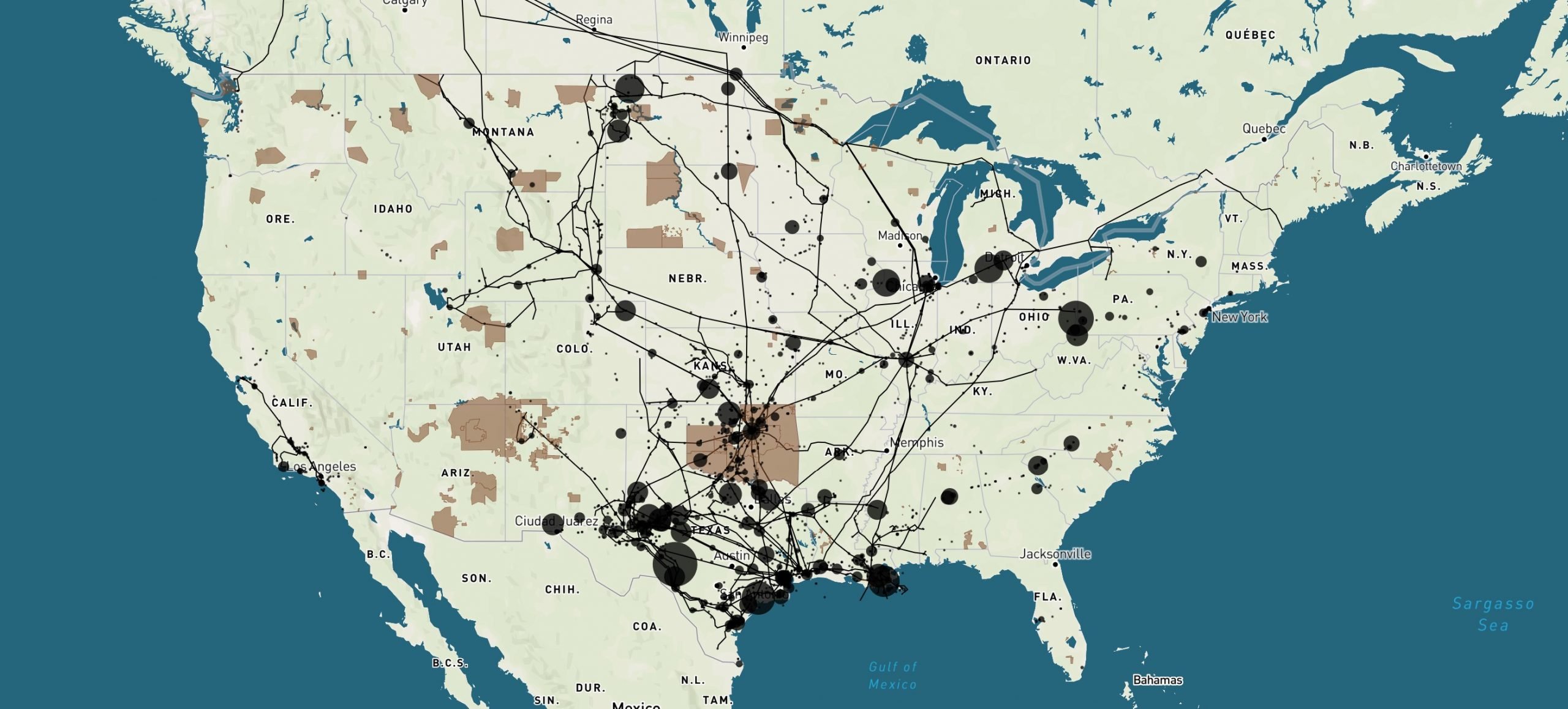
Today, the Native Land Information System launched a new interactive data visualization of US Hazardous Liquids Spills from 2010 to
Today, the US Bureau of Indian Affairs (BIA) holds 66 million acres of lands in trust for various Indian tribes
Increasing the proportion of women in agriculture has been a longstanding goal of agencies like USDA, FSA and programs like
Data from the USDA Census of Agriculture for American Indian reservations demonstrates that Native Americans are not the primary beneficiaries of their lands and resources in South Dakota.
View the Top 10 ranked lands of the Food System Transition Index, a first-of-its-kind tool specifically designed for U.S. Native lands.
The Food System Transition Index compiles key indicators inherent to a healthy food system from a holistic indigenous approach.
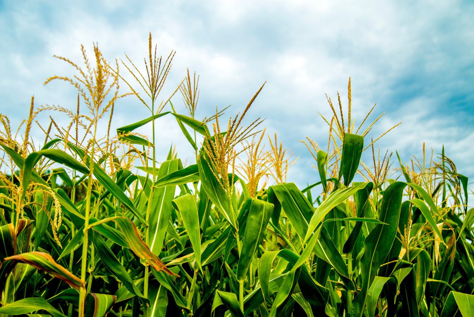
The Census of Agriculture is the most complete source of data on agricultural producers and farms on American Indian Reservations.
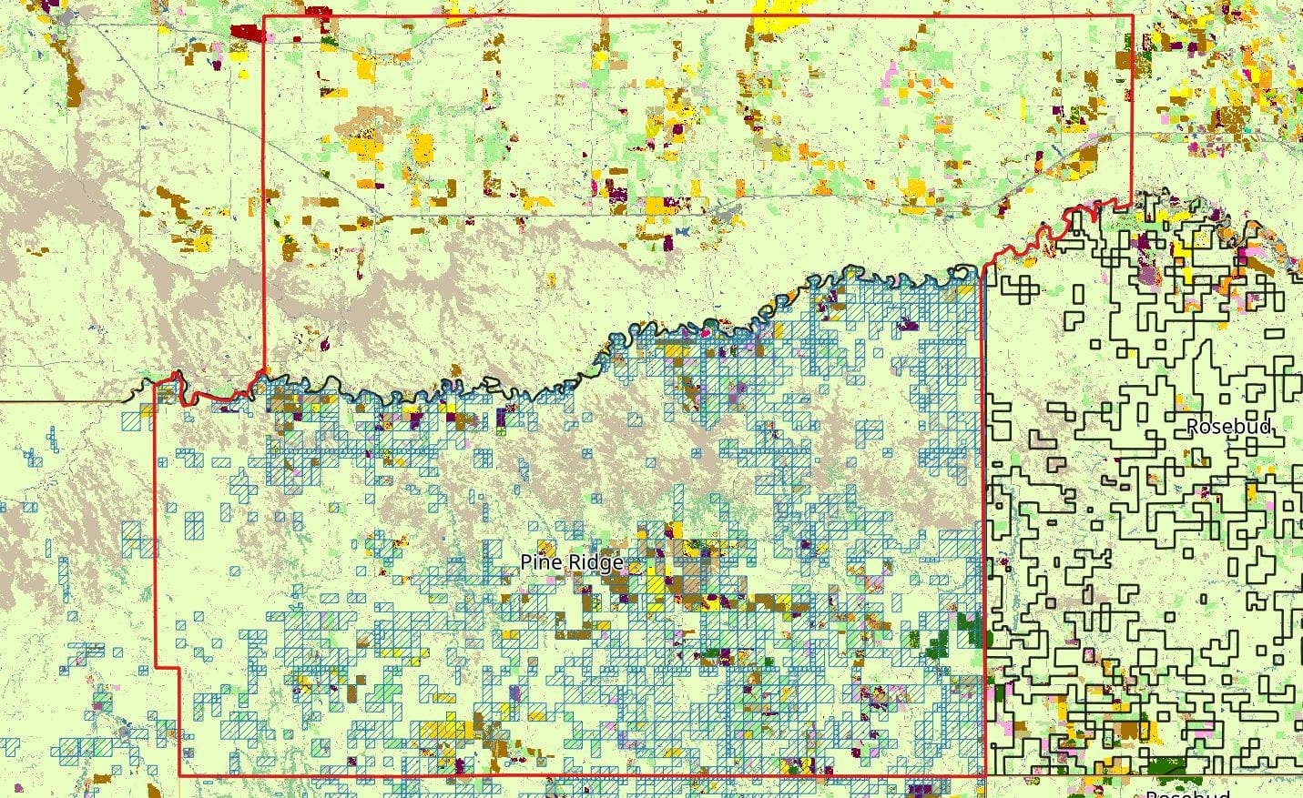
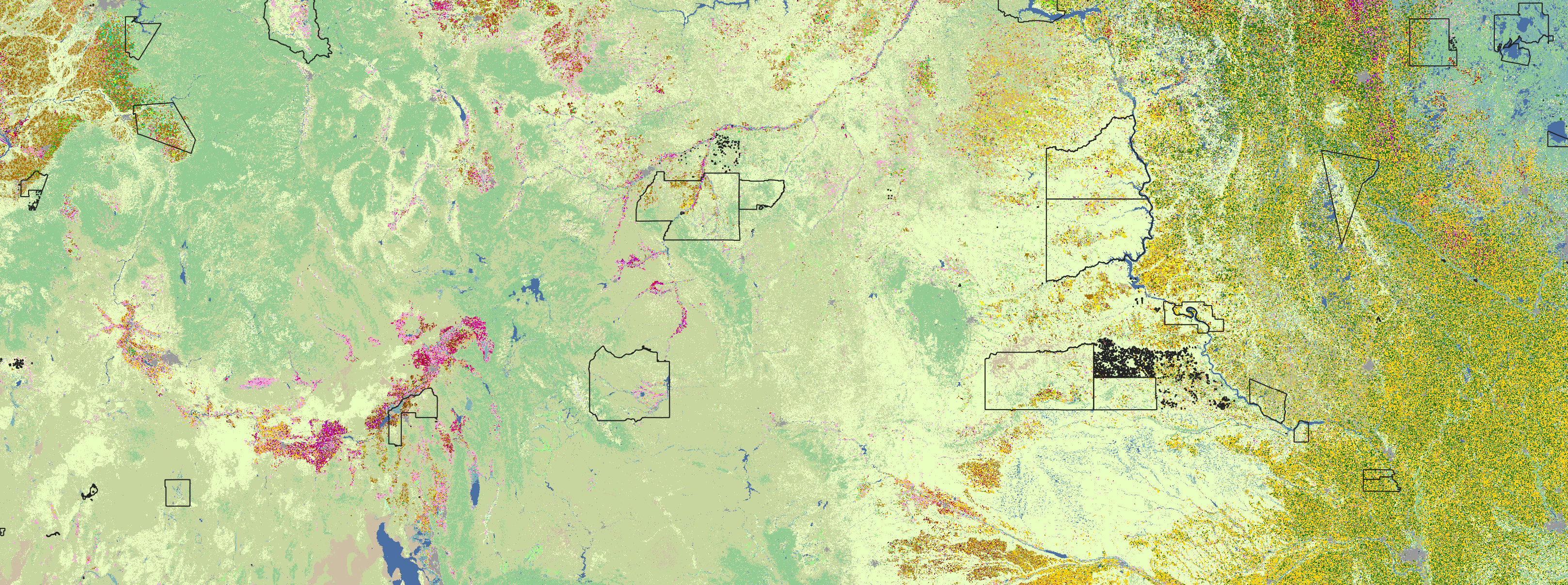
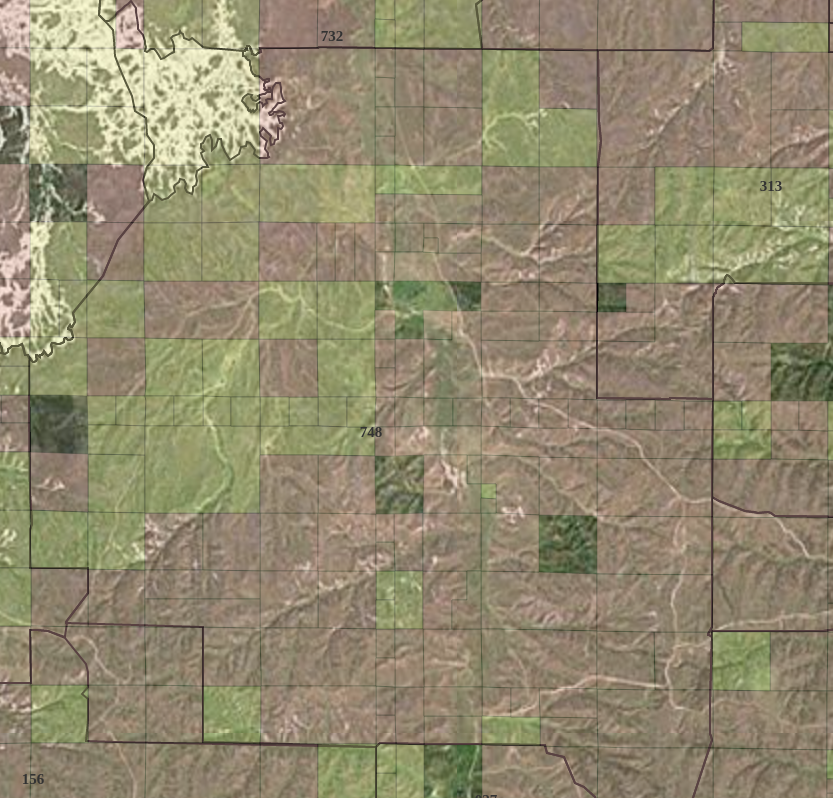
The NLIS Cropland Data Layer dashboard presents data for what’s growing on 552 unique Native land areas in the coterminous United States.
The Good Food Access Indicator (GFAI) is a composite score that assesses both access and quality of local food on US Native lands.
The Native Land Information System serves as a repository of learning resources, information, and data to help defend and protect Native lands for the benefit of Native peoples.