
Energy Sovereignty in Indian Country
The solution to energy inequity will begin when Tribes have full decision-making power over their lands, resources, and futures.

Understanding the 2026 Federal Budget for Indian Country
Here’s what we currently know about proposed funding levels for the BIA, BIE, and BTFA as of September 30, 2025.

Articulating Losses for the Native Nations in Your State
Learn about the Historic Loss Assessment: a powerful report that quantifies lost lives, land, and resources for Native Nations.

Visualizing Federal Spending in Indian Country
The Native Lands Advocacy Project recently published three data dashboards that focus on federal spending as it relates to tribes.

Water is Life: Native Efforts to Restore Water Systems
Native American efforts to protect our water systems are integral to the restoration and preservation of this non-human relative.

Empowering Tribal Climate Adaptation Through Data
Learn more about the first-of-its-kind Climate Data Portal for US Native Lands—designed to strategically support tribal climate planning.
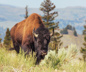
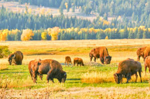
The Buffalo’s Resilience in the Face of Settler Colonialism
As Native nations reintroduce buffalo to the lands they’ve stewarded since time immemorial, their lands, ecosystems, and communities heal.
Data Tools for Native Ranchers
This storymap walks through each resource introduced on our “Data for Native Farmers” topic page.
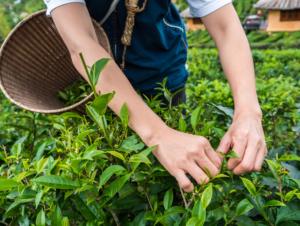
Data Tools for Native Farmers
This storymap walks through each resource introduced on our “Data for Native Farmers” topic page.