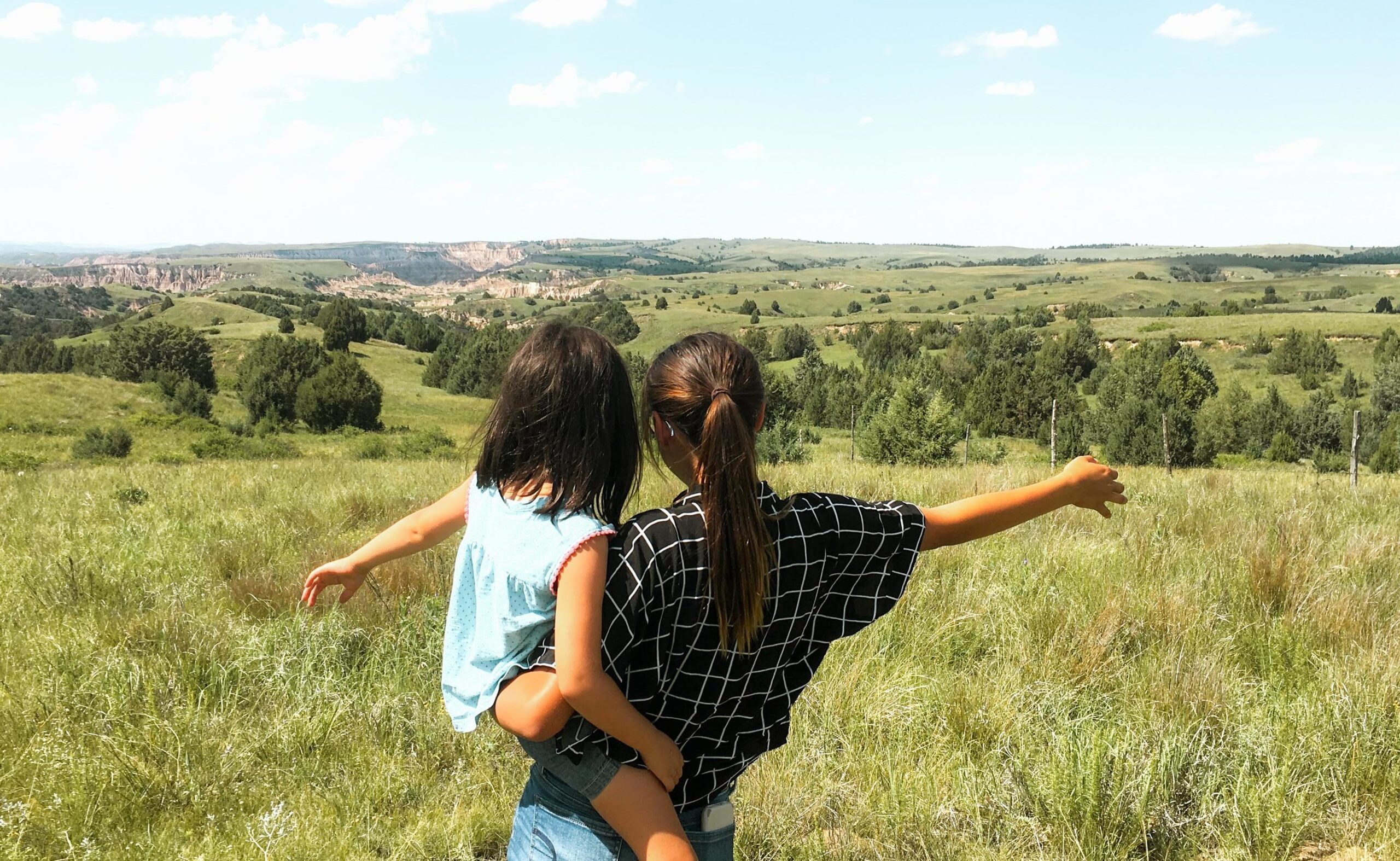
Extent of Fires on US Native Lands
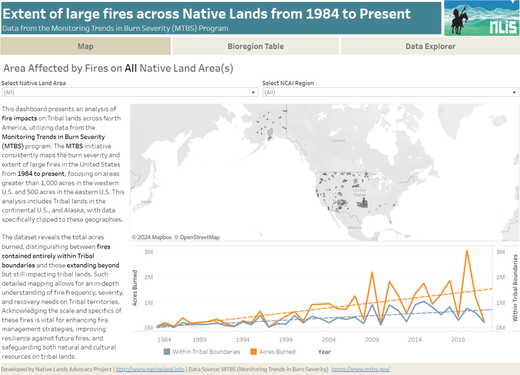
About this Dashboard This data dashboard summarizes data from the Monitoring Trends in Burn Severity (MTBS) Dataset, which the USGS EROS and the United States Department of Agriculture Forest Service jointly implemented. It highlights the distribution and impact of wildfires on Native lands between 1984 and 2022. The dashboard features detailed maps and interactive elements, allowing users […]
RAP – Rangeland Production Explorer
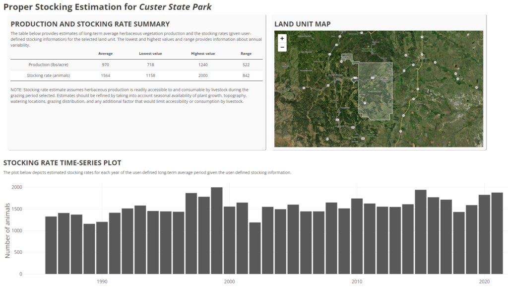
The RAP Production explorer enables you to compare current forage cover (updated every 16 days) for a specifc area (either drawn or using an uploaded boundary file) against 36 years of production.