Sovereign Education: Tribal Colleges in the US
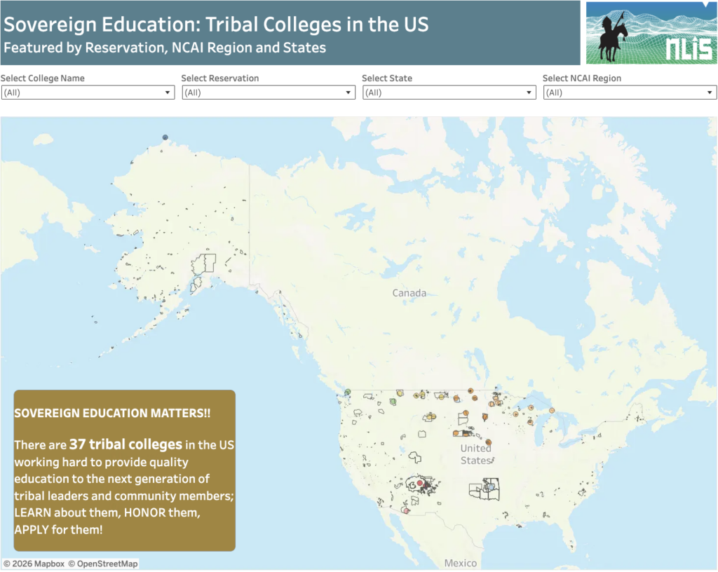
About this Dashboard There are 37 tribal colleges throughout the US serving 12,000 students/per year. Tribal colleges and universities are federally supported institutions created to expand higher education access for Native communities while advancing tribal self-determination, language, culture, and workforce development. Their growth has been shaped by key federal laws, including the Tribally Controlled Colleges […]
Energy Sovereignty in Indian Country

The solution to energy inequity will begin when Tribes have full decision-making power over their lands, resources, and futures.
Available Water in Soil on US Native Lands
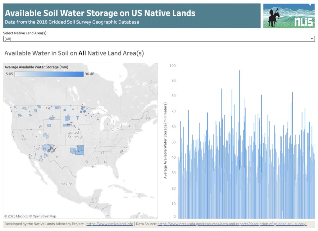
About this Dashboard This dashboard features a reservation-level view of the available water data in soil on all tribal lands in the US. Data comes from the USGS Gridded soil survey for 2016. The “available water in soil” variable from gridded soil surveys refers to the quantity of water that a soil can store and […]
Understanding Wind Speed on Native Lands

Wind plays a significant role in shaping ecosystems, affecting infrastructure planning, and in overall renewable energy potential. Recognizing this, the Native Lands Advocacy Project (NLAP) developed an Average Wind Speed data dashboard as part of our Climate Data Portal for U.S. Native Lands. Read on to learn more about this dashboard and explore two potential […]
New Storymap: Visualizing Federal Spending in Indian Country
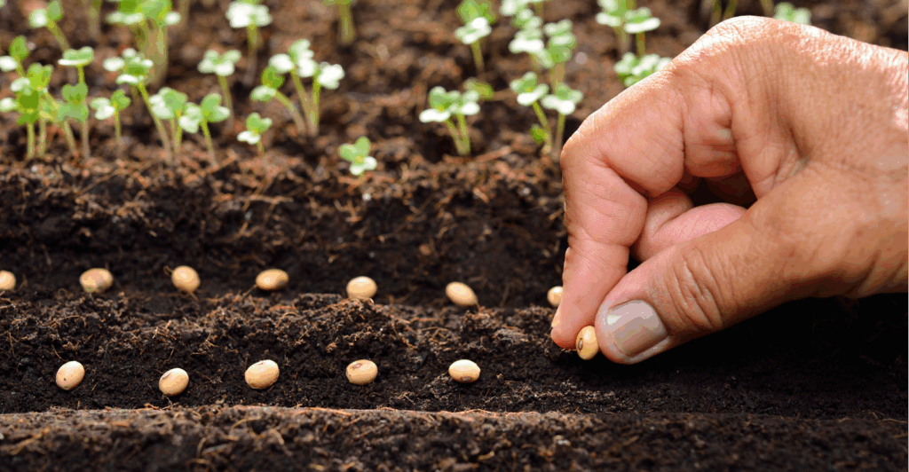
Learn about three new data tools that allow users to access relevant data about federal investments in Indian Country.
Empowering Tribal Climate Adaptation Through Data

Learn more about the first-of-its-kind Climate Data Portal for US Native Lands—designed to strategically support tribal climate planning.
Announcing our Webinar Series: Keystone Data Tools for Native Land Planning

The Native Lands Advocacy Project (NLAP) is hosting a webinar series on three of our key data tools. Join these 45-minute webinars to learn about our Agriculture on Native Lands dashboard, Land Cover dashboard and map, and Cropland Data Layer dashboard! These free, public data tools are not only powerful for tribal planning on their […]
Introducing the Climate Data Portal for U.S. Native Lands

The Native Lands Advocacy Project (NLAP) is thrilled to announce the launch of our Climate Data Portal for U.S. Native Lands! Developed with funding from the Native American Agriculture Fund, this portal is the result of our dedicated GIS team’s efforts to create & consolidate relevant climate-related data tools into one living resource. NLAP acknowledges […]
Water Quality Viewer – Pesticides
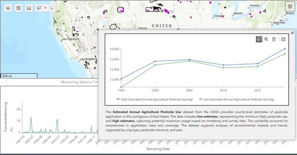
Explore pesticide concentrations in groundwater and surface waters, as well as estimated agricultural pesticide use, across US Native Lands with this interactive dashboard. Users can select specific Native Lands, filter data by pesticide, year range, and water type, and visualize trends in pesticide concentrations and use. The dashboard includes both monitoring-level data from water-quality stations and county-level pesticide use estimates, providing a comprehensive view of pesticide impacts on these vital ecosystems.
Water Quality Viewer – Temperature
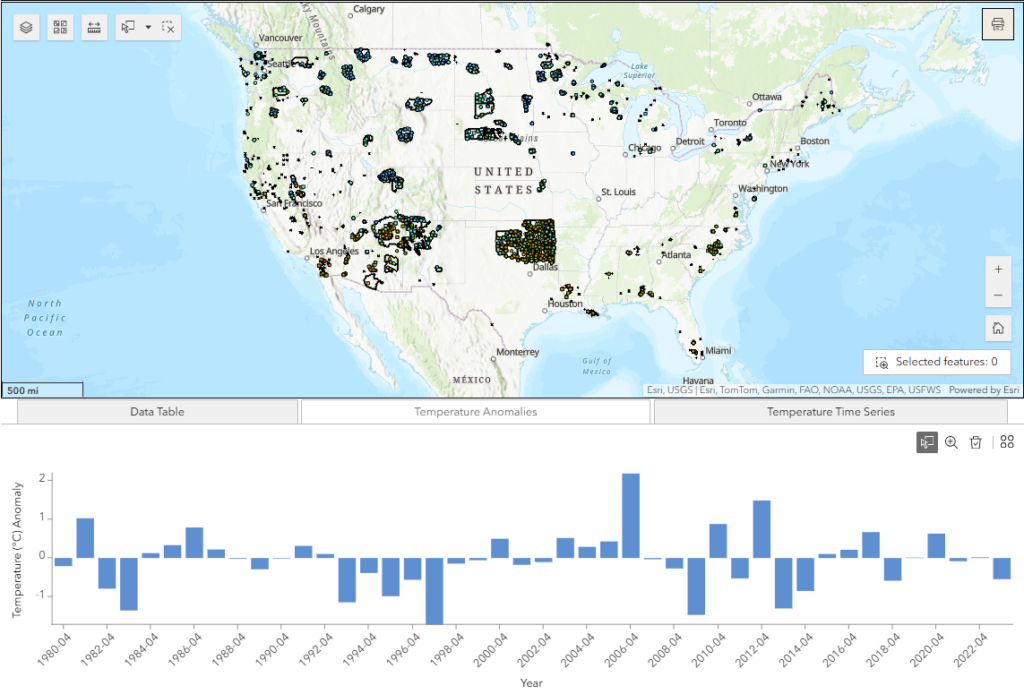
Explore the local temperature measurements across groundwater and surface waters of US Native Lands with this interactive dashboard. Users can select specific Native Lands, filter data by month and year range, and visualize trends to better understand local temperature changes in these vital ecosystems.
Check Out These Data Tools for Native Farmers & Ranchers

Native farmers and ranchers are major contributors to their reservation economies, food systems, and land stewardship. Recognizing this, NLAP has created dedicated pages of Data Tools for Native Farmers and Data Tools for Native Ranchers. Read more about these pages here.
Average Wind Speed on US Native Lands
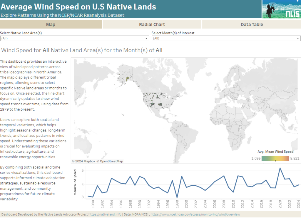
About this Dashboard This interactive dashboard provides a comprehensive analysis of average wind speed patterns across tribal lands in North America, using data from the NCEP/NCAR Reanalysis dataset. The dashboard allows users to explore wind speed trends by selecting specific Native land areas and years, or by viewing aggregated data across all regions and years. […]