New Data Tools for Fire Stewardship on Native Lands
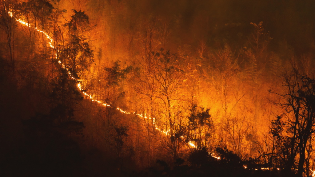
The Native Lands Advocacy Project (NLAP) is excited to highlight three data tools related to fire on U.S. Native lands. These three tools (our Thermal Activity Map, Environmental Risks Dashboard, and Extent of Fires on US Native Lands Dashboard) can help users understand the factors contributing to wildfires and their impact on Native Nations. These […]