Forest Lands Viewer
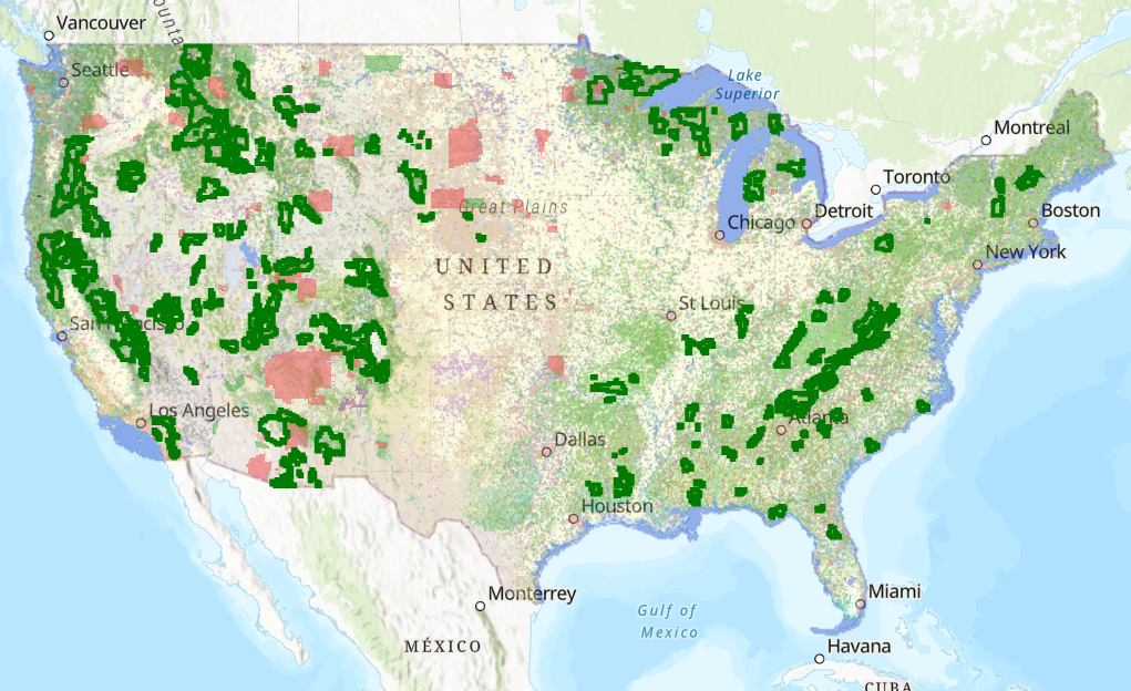
This map shows the canopy cover percentages and land cover types on Reservations and USFS lands.
Intact Habitat on US Native Lands
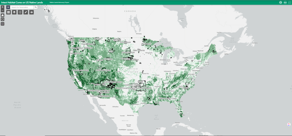
This layer represents modeled Intact Habitat Cores, or minimally disturbed natural areas at least 100 acres in size and greater than 200 meters wide.
Intact Habitat Selector Tool
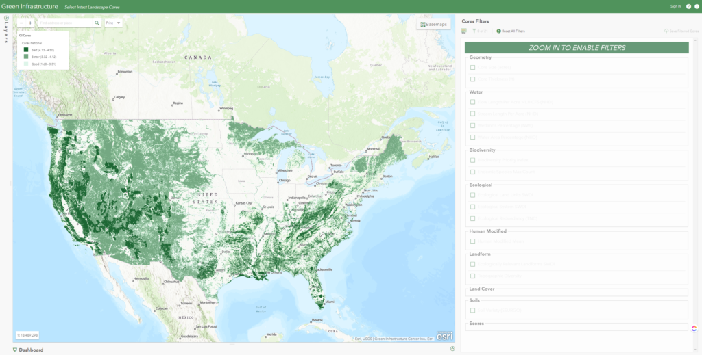
Explore and filter a national database of intact landscape cores to identify important habitat your tribe seeks to protect based on species richness, water availability, landscape variability, soils, etc.
National Land Cover Database: Tribal Lands Viewer
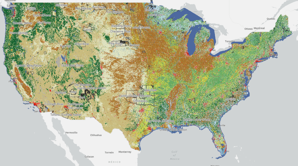
This map viewer visualizes every available year of the National Land Cover Database (NLCD) and makes it possible to filter for 848 native land areas (reservations and off reservation trust lands) in the United States for 2001 and 2019.
ESRI Landsat Explorer
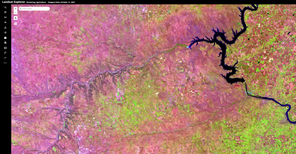
Esri Landsat Explorer app provides the power of Landsat satellites, which gather data beyond what the eye can see. Use this app to draw on Landsat’s different bands to better explore the planet’s geology, vegetation, agriculture, and cities. Additionally, access Landsat imagery from the last forty years to visualize how the Earth’s surface has changed over time.