Soil Organic Carbon for Land Planning on Native Lands
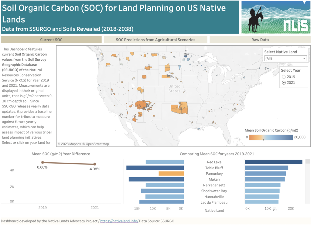
About this Dashboard This data dashboard summarizes past and present Soil Organic Carbon (SOC) data for all Native Lands but also future estimates depending on different agricultural scenarios. Data comes from the Soils Survey Geographic Database (SSURGO) for past and most to date available values (2019 and 2021). For future scenarios, we used estimates from […]
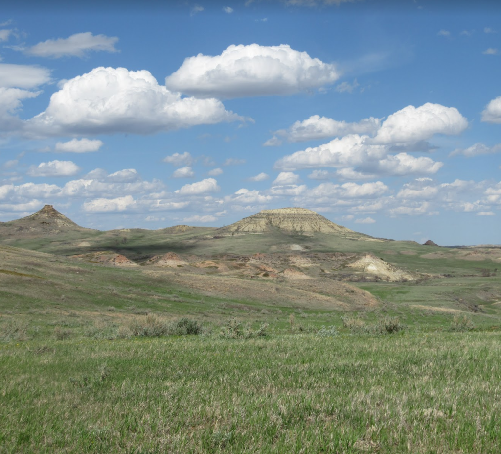
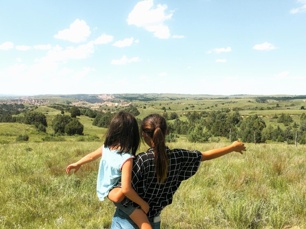
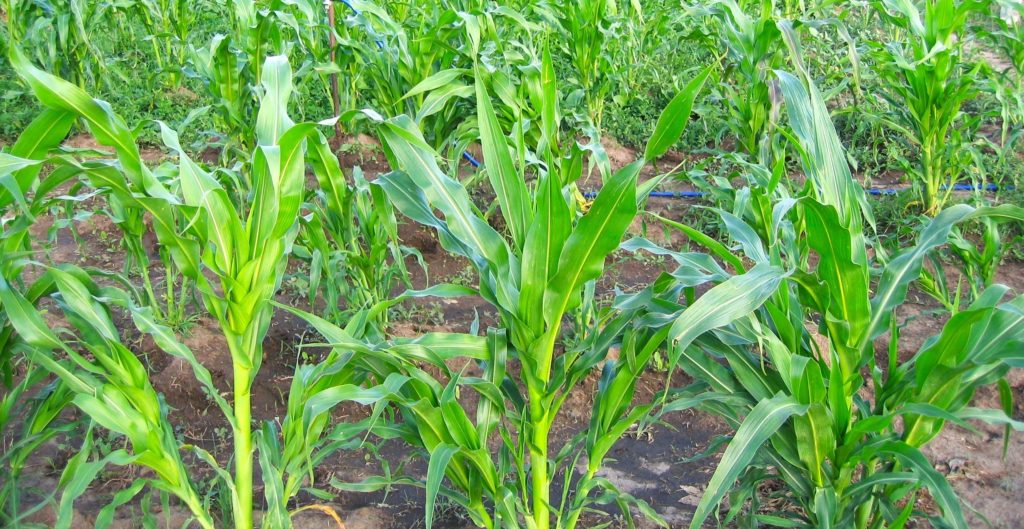
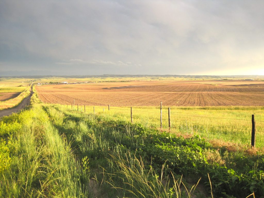
Grasslands: The Land and the People That Call it Home
Building Up Native Youth in Agriculture
2023 Farm Bill: Native Farm Bill Coalition Priorities & How the NLIS Can Help
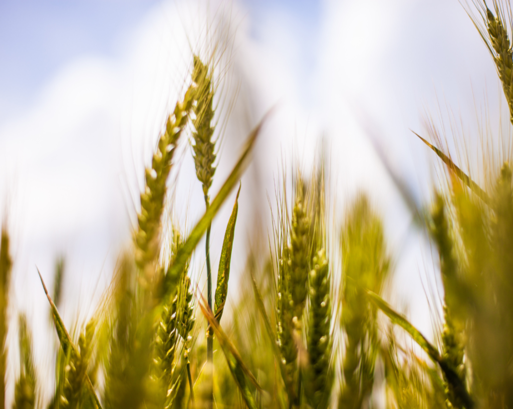
By Raven McMullin It goes without saying that the food system in the United States was created without the intent of maintaining or supporting traditional Native foodways. In fact, more than neglecting these traditional systems, new settlers sought to destroy Native food sources and economies—forcing dependence upon a strange and commodified food chain. However, traditional […]
New Demographic Features Added to NLAP’s Agriculture on Native Lands Data Dashboard
By Raven McMullin and Emma Scheerer Through previous blog posts, story maps, and data dashboards, the Native Lands Advocacy Project (NLAP) has embarked on an extensive and critical analysis of the state of agriculture on Native land. In presenting this data (which is sourced from the USDA’s Census of Agriculture for American Indian Reservations) in […]
US Drought Monitor (Google Earth Engine)
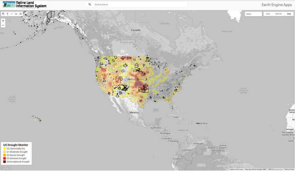
This map displays US Drought Conditions updated every Thursday as reported by National Drought Mitigation Center (NDMC)
Lakota Organic Growers Embrace Food Sovereignty in Times of Drought and Scarcity
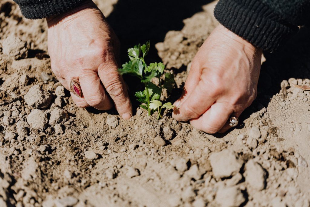
This blog is the second of two posts analyzing the challenges Native communities face accessing clean, sustainable water. Click here if you’d like to read part one. In South Dakota, west of the Missouri River, Lakota farmers have taken steps toward food sovereignty while grappling with limited funds, contaminated wells, and droughts. On the Pine Ridge reservation, semi-arid […]
Announcing Our New Storymap: The Legacy of Allotment on Contemporary Native Agriculture
What did early reservation agriculture look like? What is the settler colonial myth, and how has it distorted the perception of Native agriculture? What is the historical legacy of allotment? How are Native communities actively resisting and healing from this legacy? The Native Lands Advocacy Project is thrilled to announce our newest storymap: The Legacy of […]
The Legacy of Allotment on Contemporary Native Agriculture
ARMP-IRMP-Data Portal
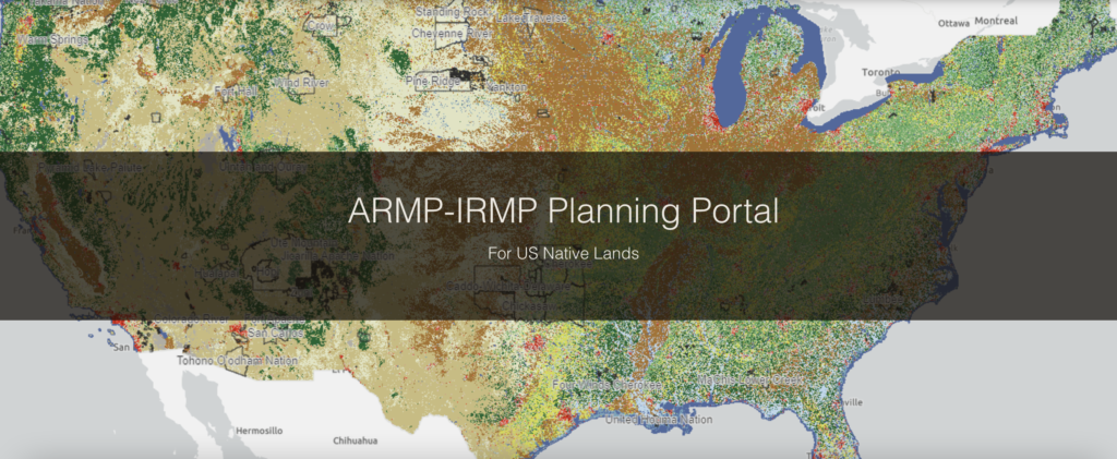
ARMP-IRMP Planning Portal A Toolkit for Tribal Resource Management Plans Welcome to the ARMP-IRMP Data Portal This resource was developed by the Native Lands Advocacy Project in partnership with the Intertribal Agriculture Council and the Indian Land Tenure Foundation to assist Tribes in the development of Agriculture Resource Management Plans (ARMPs) and Integrated Resources Management Plans […]
Rivers of Broken Promises: An Exploration of the Water Challenges Faced by Lakota Communities
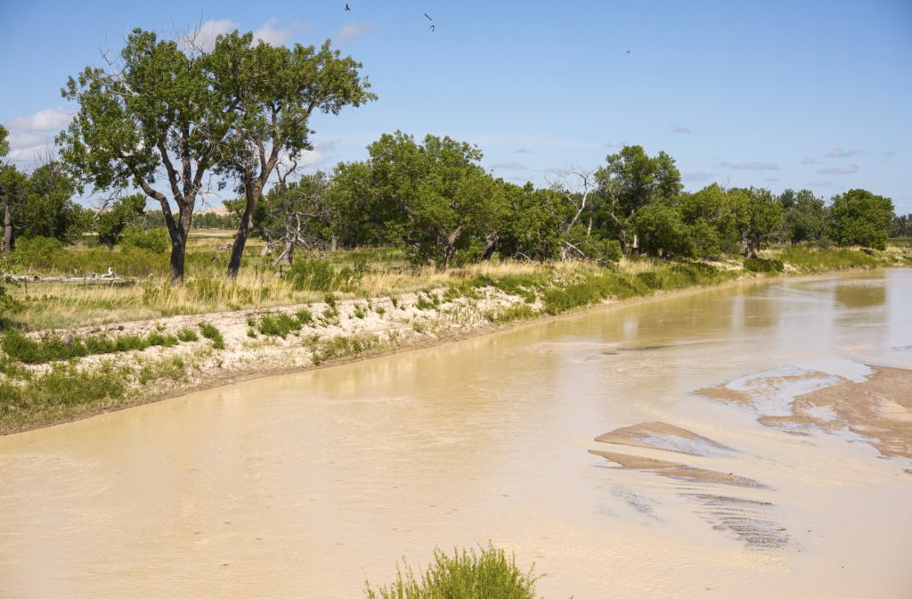
This blog is the first of two posts analyzing the challenges Native communities face in accessing clean, sustainable water.
Demographics Dashboard for US Native Lands
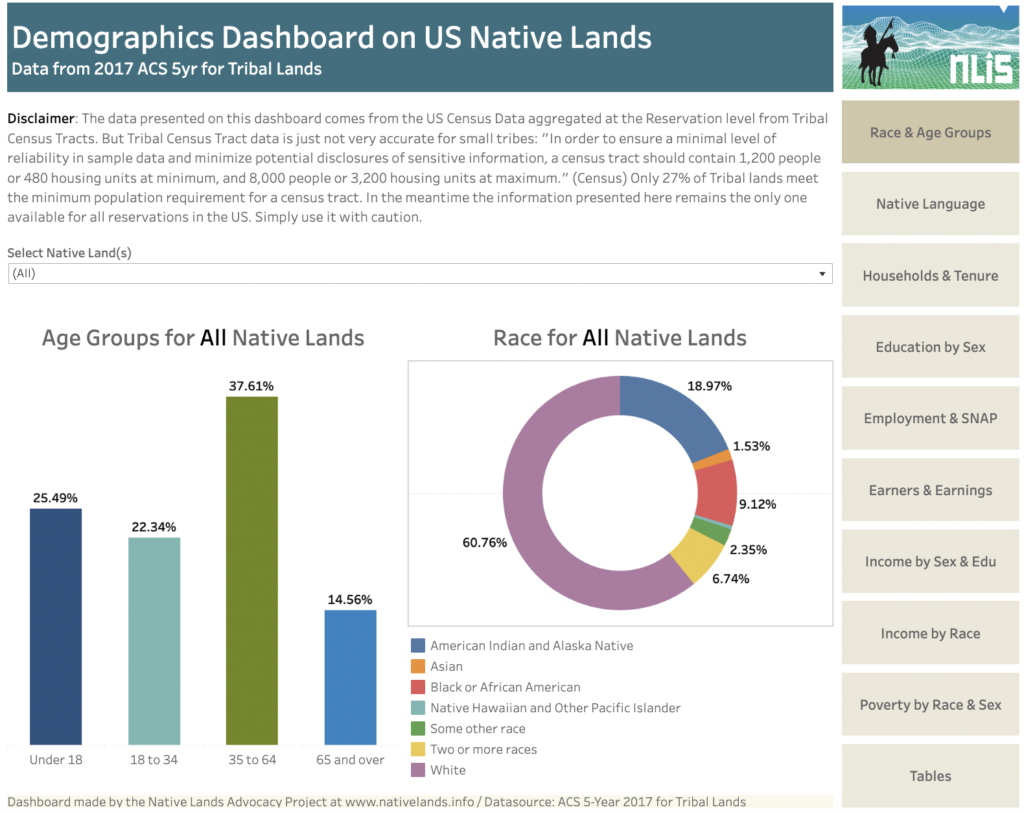
About this Dashboard This dashboard summarises data from the US Census ACS 5YR 2017, which aggregates for tribal geographies data collected by the Census at the Tribal Census Tracts-level. It allows to easily navigate key thematic information using the tabs menu. Raw Data available for download on the Tables Tab. 0 Native Land Areas 0 […]