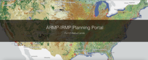
New to the NLIS? Start here!
The Native Lands Advocacy Project (NLAP) compiles, consolidates, and visualizes data resources to support sovereign, sustainable, Native-led land planning and protection. All of our data

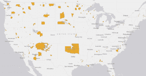
Amplifying Indigenous Data Sovereignty on National Data Privacy Day
January 28th is National Data Privacy Day. National Data Privacy Day is observed across the globe to raise awareness about the importance of employing trustworthy
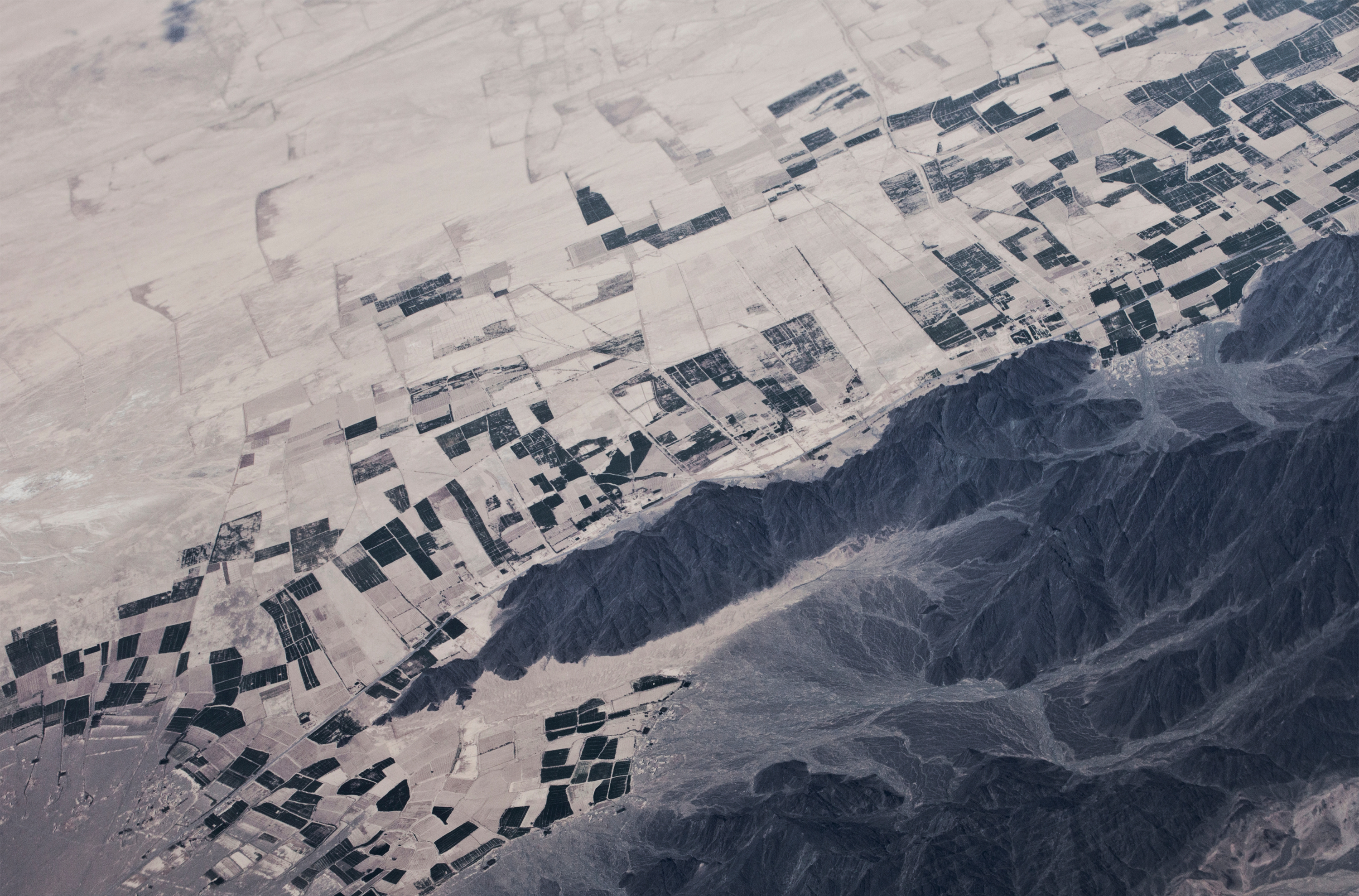
Soil Organic Carbon Planning, Key to Building Tribal Climate Resiliency
As tribes continue to experience the impacts of climate change on their lands and communities, they are starting to invest more of their resources and

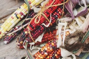
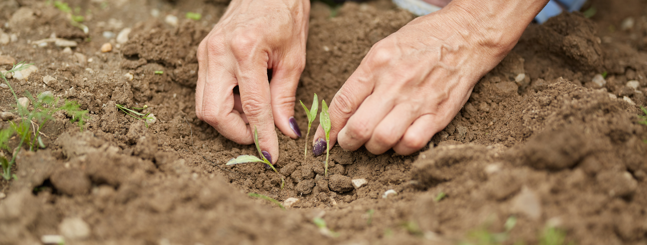
Assessing Food Resilience on Native Reservations: the Good Food Access Indicator
If you do a quick Google search of food access on Native American reservations, odds are that you will find a plethora of articles that